Sucre night lights from space
Night Light of Sucre (Chuquisaca) from space (Bolivia) Src. Average luminocity for 10x10km area is 72.5173% and for 50x50km: 4.9434%.
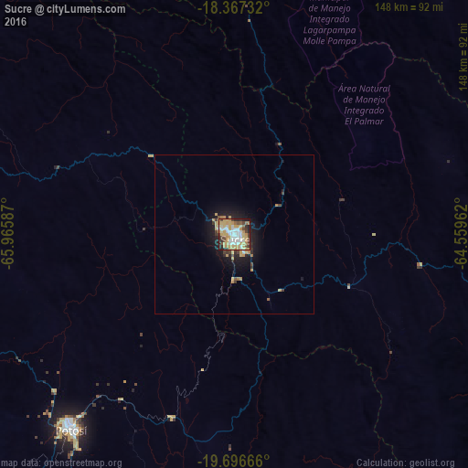
Analysis of Sucre night lights 2016
Square area 10x10 km:
 14.29%
90-99
16.45%80-89
20.35%70-79
16.45%60-69
5.63%50-59
1.95%40-49
9.74%30-39
4.98%20-29
8.23%10-19
1.95%0-9
0%Square area 50x50 km:
0.57%90-99
0.68%80-89
1.13%70-79
0.99%60-69
0.45%50-59
0.15%40-49
0.64%30-39
0.62%20-29
1.26%10-19
3.75%0-9
89.76%Clear (daylight) street map image can be seen on geolist.org.
Map coordinates:
18° 22' 2.4" South, 65° 57' 57.1" West
19° 1' 60" South, 65° 15' 45.9" West
19° 41' 48" South, 64° 33' 34.6" West
Some cities around Sucre sort by population:
• Potosí
79.9 km =49.6 mi,  220°
220°
• Mizque
121.7 km =75.6 mi,  356°
356°
• Llallagua
154.7 km =96.1 mi,  295°
295°
• Cliza
175.6 km =109.1 mi,  336°
336°
• Vallegrande
136 km =84.5 mi,  63°
63°
• Monteagudo
161.5 km =100.4 mi,  121°
121°
• Aiquile
92.6 km =57.5 mi,  5°
5°
• Challapata
159.2 km =98.9 mi,  275°
275°
3903987 (p: 224,838)
Sources (retrieved 2019-11-25):
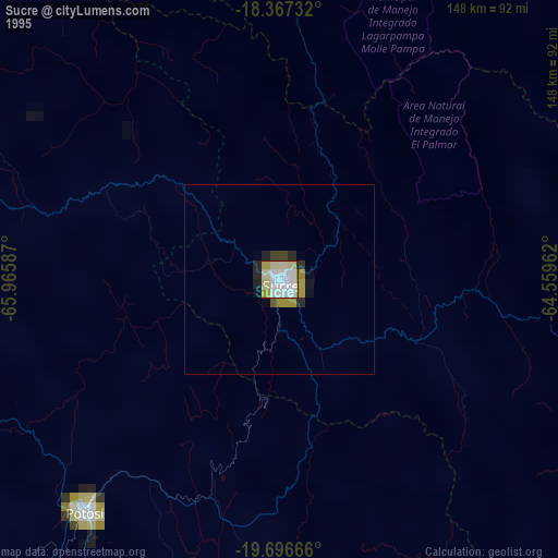
» NASA, Earths city lights 1995
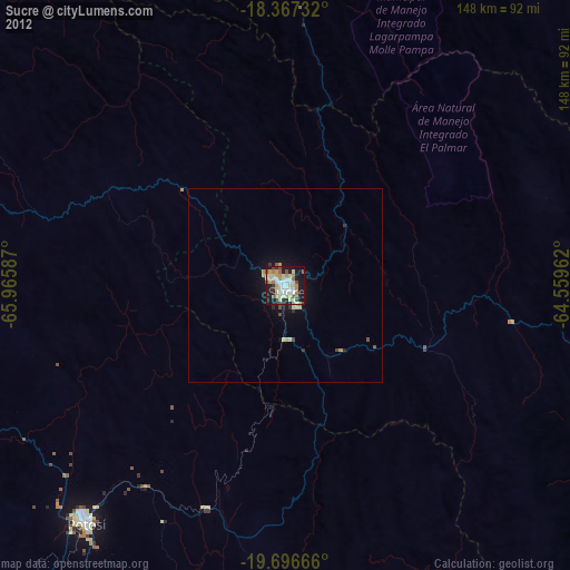
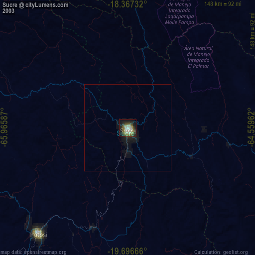
» NASA city lights 2003
» Earth at Night: Flat Maps 2012, 2016