Challapata night lights from space
Night Light of Challapata (Oruro) from space (Bolivia) Src. Average luminocity for 10x10km area is 8.4134% and for 50x50km: 0.5878%.
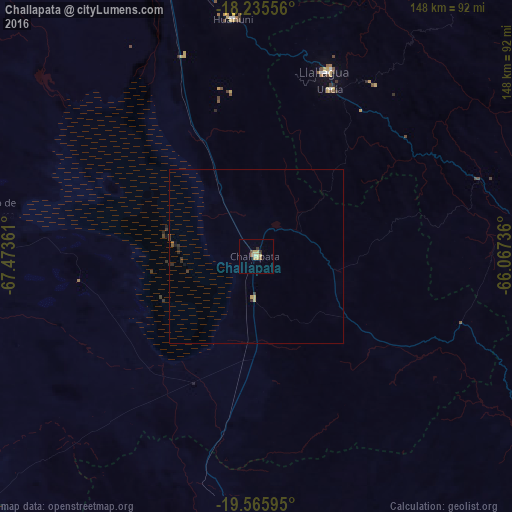
Analysis of Challapata night lights 2016
Square area 10x10 km:
 0%
0%90-99
0.65%80-89
4.33%70-79
1.08%60-69
0.43%50-59
1.52%40-49
0.65%30-39
1.73%20-29
0%10-19
0%0-9
89.61%Square area 50x50 km:
0%90-99
0.02%80-89
0.22%70-79
0.08%60-69
0.02%50-59
0.11%40-49
0.08%30-39
0.2%20-29
0.15%10-19
0.09%0-9
99.03%Clear (daylight) street map image can be seen on geolist.org.
Map coordinates:
18° 14' 8" South, 67° 28' 25" West
18° 54' 7.5" South, 66° 46' 13.7" West
19° 33' 57.4" South, 66° 4' 2.5" West
Some cities around Challapata sort by population:
• Sucre
159.2 km =98.9 mi,  95°
95°
• Oruro
109.7 km =68.2 mi,  338°
338°
• Potosí
131 km =81.4 mi,  125°
125°
• Llallagua
56.6 km =35.2 mi,  20°
20°
• Huanuni
68.5 km =42.6 mi,  354°
354°
• Colchani
156.4 km =97.2 mi,  186°
186°
• Tarata
164.1 km =102 mi,  28°
28°
• Capinota
142.9 km =88.8 mi, 22°
3921355 (p: 8,016)
Sources (retrieved 2019-11-25):
» Earth at Night: Flat Maps 2012, 2016