Colchani night lights from space
Night Light of Colchani (Potosí) from space (Bolivia) Src. Average luminocity for 10x10km area is 0.879% and for 50x50km: 0.6178%.
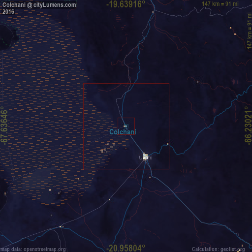
Analysis of Colchani night lights 2016
Square area 10x10 km:
 0%
0%90-99
0%80-89
0%70-79
0%60-69
0.6%50-59
0.2%40-49
0%30-39
0.79%20-29
0%10-19
0%0-9
98.41%Square area 50x50 km:
0.09%90-99
0.09%80-89
0.12%70-79
0.02%60-69
0.02%50-59
0.1%40-49
0.03%30-39
0.11%20-29
0.25%10-19
0.08%0-9
99.08%Clear (daylight) street map image can be seen on geolist.org.
Map coordinates:
19° 38' 21" South, 67° 38' 11.3" West
20° 18' 0" South, 66° 55' 60" West
20° 57' 28.9" South, 66° 13' 48.8" West
Some cities around Colchani sort by population:
• Sucre
224.6 km =139.6 mi,  51°
51°
• Potosí
146.8 km =91.2 mi,  57°
57°
• Villazón
242.3 km =150.6 mi,  145°
145°
• Llallagua
211.8 km =131.6 mi,  9°
9°
• Tupiza
179.1 km =111.3 mi,  135°
135°
• Huanuni
223.8 km =139.1 mi,  2°
2°
• Uyuni
21 km =13 mi, 147°
• Challapata
156.4 km =97.2 mi, 6°
3919884 (p: 11,988)
Sources (retrieved 2019-11-25):
» Earth at Night: Flat Maps 2012, 2016