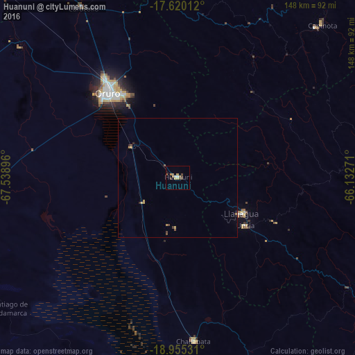
Huanuni night lights from space
Night Light of Huanuni (Oruro) from space (Bolivia) Src. Average luminocity for 10x10km area is 9.9421% and for 50x50km: 0.8202%.
Analysis of Huanuni night lights 2016
Square area 10x10 km:
 0.83%
0.83%90-99
0.83%80-89
0.83%70-79
3.1%60-69
2.69%50-59
0.41%40-49
3.1%30-39
0.62%20-29
0%10-19
0%0-9
87.6%Square area 50x50 km:
0.03%90-99
0.03%80-89
0.09%70-79
0.29%60-69
0.11%50-59
0.14%40-49
0.24%30-39
0.07%20-29
0.06%10-19
0%0-9
98.93%Clear (daylight) street map image can be seen on geolist.org.
Map coordinates:
17° 37' 12.4" South, 67° 32' 20.3" West
18° 17' 20.4" South, 66° 50' 9" West
18° 57' 19.1" South, 66° 7' 57.8" West
Some cities around Huanuni sort by population:
• Cochabamba
123.2 km =76.6 mi,  35°
35°
• Oruro
47.5 km =29.5 mi,  315°
315°
• Quillacollo
115.9 km =72 mi,  30°
30°
• Llallagua
30.5 km =19 mi,  119°
119°
• Cliza
123.3 km =76.6 mi,  50°
50°
• Tarata
114.6 km =71.2 mi, 48°
• Challapata
68.5 km =42.6 mi,  174°
174°
• Capinota
88.5 km =55 mi, 43°
3914839 (p: 15,492)
Sources (retrieved 2019-11-25):
» Earth at Night: Flat Maps 2012, 2016