Villazón night lights from space
Night Light of Villazón (Potosí) from space (Bolivia) Src. Average luminocity for 10x10km area is 19.8512% and for 50x50km: 0.9372%.
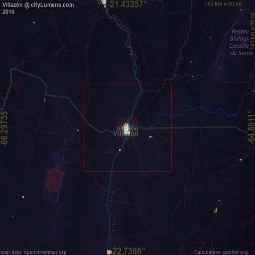
Analysis of Villazón night lights 2016
Square area 10x10 km:
 1.59%
1.59%90-99
3.77%80-89
4.37%70-79
5.75%60-69
0.4%50-59
0.79%40-49
0%30-39
2.98%20-29
1.79%10-19
8.53%0-9
70.04%Square area 50x50 km:
0.06%90-99
0.15%80-89
0.21%70-79
0.26%60-69
0.02%50-59
0.03%40-49
0%30-39
0.15%20-29
0.07%10-19
0.34%0-9
98.71%Clear (daylight) street map image can be seen on geolist.org.
Map coordinates:
21° 26' 0.9" South, 66° 17' 50.5" West
22° 5' 11.7" South, 65° 35' 39.2" West
22° 44' 11.8" South, 64° 53' 28" West
Some cities around Villazón sort by population:
• Tarija
108.3 km =67.3 mi,  55°
55°
• San Ramón de la Nueva Orán, AR
175 km =108.7 mi,  131°
131°
• Bermejo
147.8 km =91.8 mi,  119°
119°
• Tupiza
72.7 km =45.2 mi,  349°
349°
• La Quiaca, AR
1.8 km =1.1 mi,  175°
175°
• Humahuaca, AR
126.9 km =78.9 mi,  168°
168°
• Abra Pampa, AR
71.3 km =44.3 mi,  188°
188°
• Tilcara, AR
167.1 km =103.8 mi, 172°
3901501 (p: 30,253)
Sources (retrieved 2019-11-25):
» Earth at Night: Flat Maps 2012, 2016