Tupiza night lights from space
Night Light of Tupiza (Potosí) from space (Bolivia) Src. Average luminocity for 10x10km area is 10.2898% and for 50x50km: 0.4849%.
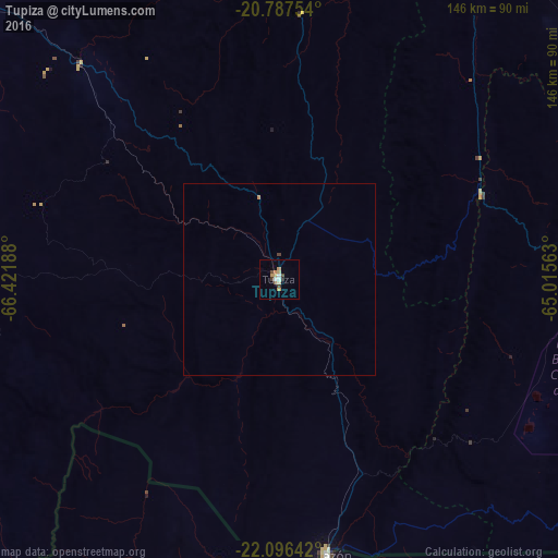
Analysis of Tupiza night lights 2016
Square area 10x10 km:
 1.52%
1.52%90-99
0.95%80-89
1.52%70-79
2.84%60-69
0.76%50-59
0.76%40-49
1.52%30-39
1.52%20-29
0.76%10-19
0%0-9
87.88%Square area 50x50 km:
0.06%90-99
0.04%80-89
0.06%70-79
0.12%60-69
0.06%50-59
0.03%40-49
0.1%30-39
0.06%20-29
0.03%10-19
0%0-9
99.43%Clear (daylight) street map image can be seen on geolist.org.
Map coordinates:
20° 47' 15.1" South, 66° 25' 18.8" West
21° 26' 36.4" South, 65° 43' 7.5" West
22° 5' 47.1" South, 65° 0' 56.3" West
Some cities around Tupiza sort by population:
• Tarija
102.9 km =63.9 mi,  95°
95°
• Bermejo
202 km =125.5 mi,  135°
135°
• Villazón
72.7 km =45.2 mi,  169°
169°
• La Quiaca, AR
74.4 km =46.2 mi, 169°
• Colchani
179.1 km =111.3 mi,  315°
315°
• Humahuaca, AR
199.5 km =124 mi, 169°
• Uyuni
158.6 km =98.5 mi,  313°
313°
• Abra Pampa, AR
142 km =88.2 mi,  179°
179°
3902202 (p: 22,233)
Sources (retrieved 2019-11-25):
» Earth at Night: Flat Maps 2012, 2016