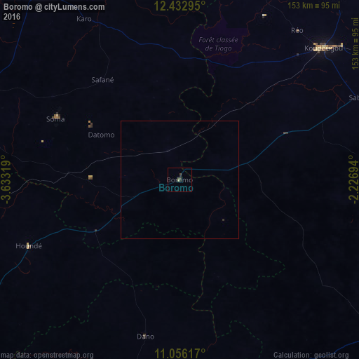
Boromo night lights from space
Night Light of Boromo (Boucle du Mouhoun) from space (Burkina Faso) Src. Average luminocity for 10x10km area is 2.3657% and for 50x50km: 0.1071%.
Analysis of Boromo night lights 2016
Square area 10x10 km:
 0%
0%90-99
0%80-89
0.83%70-79
0%60-69
0%50-59
0%40-49
2.07%30-39
0.41%20-29
1.65%10-19
0%0-9
95.04%Square area 50x50 km:
0%90-99
0%80-89
0.03%70-79
0%60-69
0%50-59
0%40-49
0.08%30-39
0.03%20-29
0.08%10-19
0%0-9
99.76%Clear (daylight) street map image can be seen on geolist.org.
Map coordinates:
12° 25' 58.6" North, 3° 37' 59.5" West
11° 44' 43.5" North, 2° 55' 48.2" West
11° 3' 22.2" North, 2° 13' 37" West
Some cities around Boromo sort by population:
• Koudougou
83.6 km =51.9 mi,  47°
47°
• Dédougou
98.5 km =61.2 mi,  324°
324°
• Réo
81 km =50.3 mi,  38°
38°
• Houndé
69.5 km =43.2 mi,  246°
246°
• Léo
114.9 km =71.4 mi,  128°
128°
• Diébougou
93.8 km =58.3 mi,  201°
201°
• Toma
112.7 km =70 mi,  1°
1°
• Dano
68 km =42.3 mi,  191°
191°
2362150 (p: 13,157)
Sources (retrieved 2019-11-25):
» Earth at Night: Flat Maps 2012, 2016