Diébougou night lights from space
Night Light of Diébougou (Sud-Ouest) from space (Burkina Faso) Src. Average luminocity for 10x10km area is 1.5693% and for 50x50km: 0.1171%.
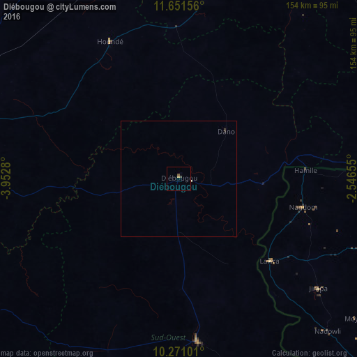
Analysis of Diébougou night lights 2016
Square area 10x10 km:
 0%
0%90-99
0%80-89
0%70-79
0.87%60-69
0%50-59
0.22%40-49
0.87%30-39
0.65%20-29
0%10-19
0%0-9
97.4%Square area 50x50 km:
0%90-99
0.03%80-89
0%70-79
0.03%60-69
0%50-59
0.01%40-49
0.05%30-39
0.04%20-29
0.03%10-19
0%0-9
99.8%Clear (daylight) street map image can be seen on geolist.org.
Map coordinates:
11° 39' 5.6" North, 3° 57' 10.1" West
10° 57' 43.5" North, 3° 14' 58.8" West
10° 16' 15.6" North, 2° 32' 47.6" West
Some cities around Diébougou sort by population:
• Bobo-Dioulasso
116.9 km =72.6 mi,  281°
281°
• Wa, GH
129.3 km =80.3 mi,  140°
140°
• Houndé
66.5 km =41.3 mi,  334°
334°
• Léo
125.7 km =78.1 mi,  82°
82°
• Boromo
93.8 km =58.3 mi,  21°
21°
• Dano
29.3 km =18.2 mi,  45°
45°
• Salanso
162.6 km =101 mi, 325°
• Batié
125.4 km =77.9 mi,  163°
163°
2361342 (p: 12,732)
Sources (retrieved 2019-11-25):
» Earth at Night: Flat Maps 2012, 2016