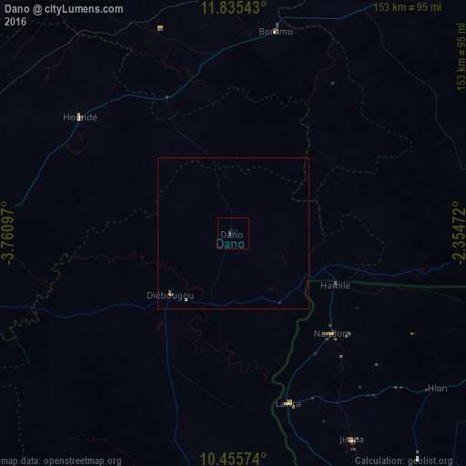
Dano night lights from space
Night Light of Dano (Sud-Ouest) from space (Burkina Faso) Src. Average luminocity for 10x10km area is 0.5931% and for 50x50km: 0.123%.
Analysis of Dano night lights 2016
Square area 10x10 km:
 0%
0%90-99
0%80-89
0%70-79
0%60-69
0%50-59
0%40-49
0.43%30-39
0.43%20-29
0.87%10-19
0%0-9
98.27%Square area 50x50 km:
0%90-99
0.03%80-89
0%70-79
0.03%60-69
0%50-59
0.01%40-49
0.05%30-39
0.04%20-29
0.03%10-19
0.03%0-9
99.76%Clear (daylight) street map image can be seen on geolist.org.
Map coordinates:
11° 50' 7.5" North, 3° 45' 39.5" West
11° 8' 47" North, 3° 3' 28.2" West
10° 27' 20.7" North, 2° 21' 17" West
Some cities around Dano sort by population:
• Bobo-Dioulasso
135.3 km =84.1 mi,  271°
271°
• Koudougou
144.4 km =89.7 mi,  31°
31°
• Wa, GH
135.1 km =83.9 mi,  153°
153°
• Houndé
63.6 km =39.5 mi,  308°
308°
• Léo
103.9 km =64.6 mi,  92°
92°
• Boromo
68 km =42.3 mi,  11°
11°
• Diébougou
29.3 km =18.2 mi,  225°
225°
• Batié
141.3 km =87.8 mi,  173°
173°
2361586 (p: 11,153)
Sources (retrieved 2019-11-25):
» Earth at Night: Flat Maps 2012, 2016