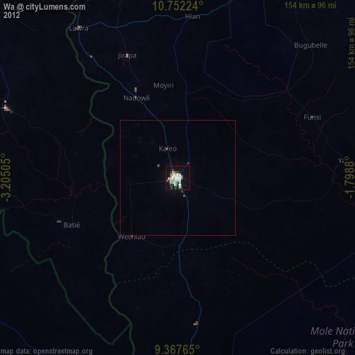
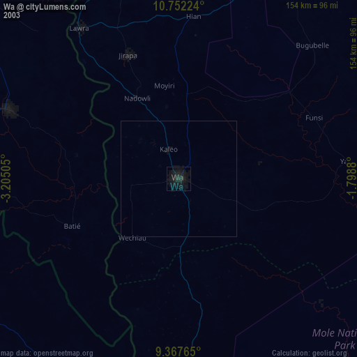
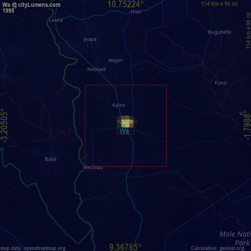
Wa night lights from space
Night Light of Wa (Upper West) from space (Ghana) Src. Average luminocity for 10x10km area is 36.9731% and for 50x50km: 2.0992%.
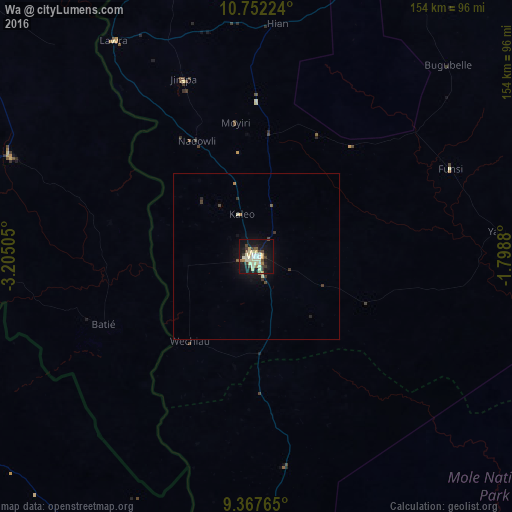
Analysis of Wa night lights 2016
Square area 10x10 km:
 2.27%
2.27%90-99
11.16%80-89
10.33%70-79
1.45%60-69
2.69%50-59
2.48%40-49
5.37%30-39
5.99%20-29
2.07%10-19
40.29%0-9
15.91%Square area 50x50 km:
0.09%90-99
0.51%80-89
0.44%70-79
0.08%60-69
0.18%50-59
0.19%40-49
0.3%30-39
0.48%20-29
0.15%10-19
2.12%0-9
95.47%Clear (daylight) street map image can be seen on geolist.org.
Map coordinates:
10° 45' 8.1" North, 3° 12' 18.2" West
10° 3' 38.5" North, 2° 30' 6.9" West
9° 22' 3.5" North, 1° 47' 55.7" West
Some cities around Wa sort by population:
• Savelugu
190 km =118.1 mi,  104°
104°
• Léo, BF
123.4 km =76.7 mi,  20°
20°
• Navrongo
179.9 km =111.8 mi,  58°
58°
• Bouna, CI
103.3 km =64.2 mi,  211°
211°
• Pô, BF
192.9 km =119.9 mi,  50°
50°
• Diébougou, BF
129.3 km =80.3 mi,  320°
320°
• Dano, BF
135.1 km =83.9 mi,  333°
333°
• Batié, BF
49.5 km =30.8 mi,  246°
246°
2294206 (p: 78,107)
Sources (retrieved 2019-11-25):
» NASA, Earths city lights 1995
» NASA city lights 2003
» Earth at Night: Flat Maps 2012, 2016