Kokologo night lights from space
Night Light of Kokologo (Centre-Ouest) from space (Burkina Faso) Src. Average luminocity for 10x10km area is 0% and for 50x50km: 0.132%.

Analysis of Kokologo night lights 2016
Square area 10x10 km:
 0%
0%90-99
0%80-89
0%70-79
0%60-69
0%50-59
0%40-49
0%30-39
0%20-29
0%10-19
0%0-9
100%Square area 50x50 km:
0%90-99
0%80-89
0.03%70-79
0%60-69
0.01%50-59
0.03%40-49
0%30-39
0.05%20-29
0.08%10-19
0%0-9
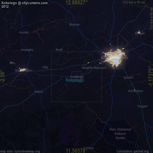
99.8%Clear (daylight) street map image can be seen on geolist.org.
Map coordinates:
12° 52' 49" North, 2° 34' 48" West
12° 11' 38.1" North, 1° 52' 36.7" West
11° 30' 20.8" North, 1° 10' 25.5" West
Some cities around Kokologo sort by population:
• Ouagadougou
41.9 km =26 mi,  62°
62°
• Koudougou
53.2 km =33.1 mi,  277°
277°
• Réo
66 km =41 mi, 282°
• Kombissiri
60.4 km =37.5 mi,  103°
103°
• Boussé
52 km =32.3 mi,  357°
357°
• Ziniaré
76.3 km =47.4 mi, 55°
• Pitmoaga
5.8 km =3.6 mi, 355°
• Goulouré
7.7 km =4.8 mi,  306°
306°
2359317 (p: 25,958)
Sources (retrieved 2019-11-25):
» Earth at Night: Flat Maps 2012, 2016