Nunawading night lights from space
Night Light of Nunawading (Victoria) from space (Australia) Src. Average luminocity for 10x10km area is 75.5289% and for 50x50km: 46.5716%.
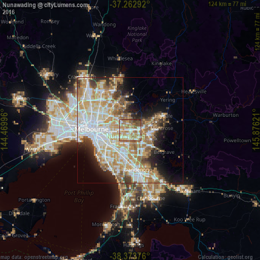
Analysis of Nunawading night lights 2016
Square area 10x10 km:
 12.76%
90-99
17.69%80-89
10.88%70-79
16.84%60-69
22.96%50-59
11.05%40-49
6.46%30-39
0.68%20-29
0.68%10-19
0%0-9
0%Square area 50x50 km:
11.66%90-99
10.8%80-89
5.7%70-79
8.7%60-69
7.53%50-59
5.53%40-49
3.51%30-39
3.18%20-29
4.9%10-19
7.06%0-9
31.43%Clear (daylight) street map image can be seen on geolist.org.
Map coordinates:
37° 15' 46.5" South, 144° 28' 11.9" East
37° 49' 13.5" South, 145° 10' 23.1" East
38° 22' 25.5" South, 145° 52' 34.4" East
Some cities around Nunawading sort by population:
• Mitcham
2.4 km =1.5 mi,  79°
79°
• Blackburn
1.7 km =1.1 mi,  275°
275°
• Donvale
3.5 km =2.2 mi,  2°
2°
• Forest Hill
1.7 km =1.1 mi,  147°
147°
• Blackburn South
2.6 km =1.6 mi,  215°
215°
• Vermont
2.6 km =1.6 mi,  133°
133°
• Burwood East
3.9 km =2.4 mi,  211°
211°
• Blackburn North
2.2 km =1.4 mi,  303°
303°
2154720 (p: 11,645)
Sources (retrieved 2019-11-25):
» Earth at Night: Flat Maps 2012, 2016