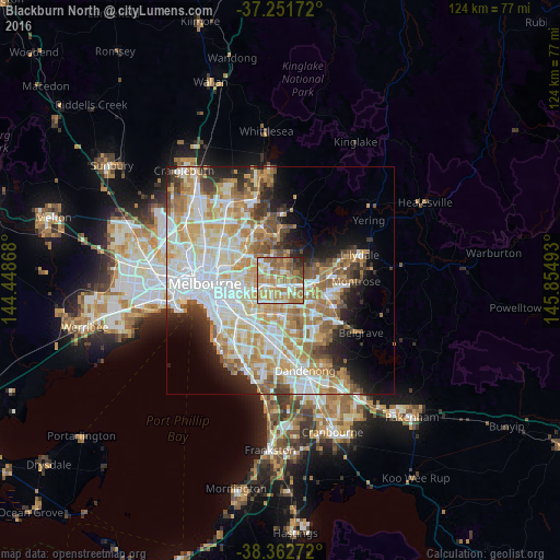
Blackburn North night lights from space
Night Light of Blackburn North (Victoria) from space (Australia) Src. Average luminocity for 10x10km area is 73.9779% and for 50x50km: 47.9871%.
Analysis of Blackburn North night lights 2016
Square area 10x10 km:
 9.69%
9.69%90-99
17.01%80-89
12.76%70-79
16.33%60-69
23.64%50-59
12.59%40-49
4.42%30-39
1.19%20-29
2.38%10-19
0%0-9
0%Square area 50x50 km:
12.14%90-99
11.31%80-89
5.94%70-79
8.88%60-69
7.56%50-59
5.36%40-49
3.76%30-39
3.16%20-29
5.13%10-19
7.18%0-9
29.58%Clear (daylight) street map image can be seen on geolist.org.
Map coordinates:
37° 15' 6.2" South, 144° 26' 55.2" East
37° 48' 33.5" South, 145° 9' 6.5" East
38° 21' 45.8" South, 145° 51' 17.7" East
Some cities around Blackburn North sort by population:
• Doncaster East
2.4 km =1.5 mi,  353°
353°
• Doncaster
3.4 km =2.1 mi,  313°
313°
• Donvale
3 km =1.9 mi,  42°
42°
• Box Hill
2.5 km =1.6 mi,  245°
245°
• Box Hill North
2.3 km =1.4 mi,  288°
288°
• Nunawading
2.2 km =1.4 mi,  123°
123°
• Forest Hill
3.8 km =2.4 mi,  133°
133°
• Box Hill South
3.7 km =2.3 mi,  226°
226°
7932632 (p: 7,328)
Sources (retrieved 2019-11-25):
» Earth at Night: Flat Maps 2012, 2016