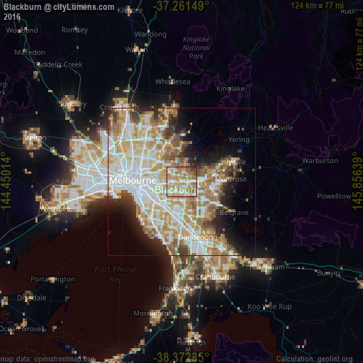
Blackburn night lights from space
Night Light of Blackburn (Victoria) from space (Australia) Src. Average luminocity for 10x10km area is 77.5799% and for 50x50km: 48.4039%.
Analysis of Blackburn night lights 2016
Square area 10x10 km:
 11.73%
90-99
19.22%80-89
14.12%70-79
20.58%60-69
21.43%50-59
8.67%40-49
3.4%30-39
0.51%20-29
0.34%10-19
0%0-9
0%Square area 50x50 km:
12.24%90-99
11.4%80-89
5.98%70-79
8.9%60-69
7.64%50-59
5.57%40-49
3.69%30-39
3.34%20-29
5.06%10-19
7.08%0-9
29.09%Clear (daylight) street map image can be seen on geolist.org.
Map coordinates:
37° 15' 41.4" South, 144° 27' 0.5" East
37° 49' 8.4" South, 145° 9' 11.7" East
38° 22' 20.5" South, 145° 51' 23" East
Some cities around Blackburn sort by population:
• Doncaster East
3.5 km =2.2 mi,  353°
353°
• Donvale
3.8 km =2.4 mi,  29°
29°
• Box Hill
2.4 km =1.5 mi,  270°
270°
• Box Hill North
3 km =1.9 mi,  307°
307°
• Nunawading
1.7 km =1.1 mi,  95°
95°
• Forest Hill
3.1 km =1.9 mi,  121°
121°
• Burwood East
3.5 km =2.2 mi,  184°
184°
• Box Hill South
3.2 km =2 mi,  242°
242°
7932624 (p: 13,703)
Sources (retrieved 2019-11-25):
» Earth at Night: Flat Maps 2012, 2016