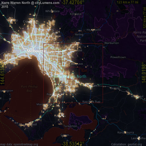
Narre Warren North night lights from space
Night Light of Narre Warren North (Victoria) from space (Australia) Src. Average luminocity for 10x10km area is 36.3847% and for 50x50km: 35.006%.
Analysis of Narre Warren North night lights 2016
Square area 10x10 km:
 2.76%
2.76%90-99
4.38%80-89
1.3%70-79
8.44%60-69
9.9%50-59
7.14%40-49
5.36%30-39
5.36%20-29
15.26%10-19
20.94%0-9
19.16%Square area 50x50 km:
6.05%90-99
7.26%80-89
3.99%70-79
6.99%60-69
7.01%50-59
5.62%40-49
3.7%30-39
3.46%20-29
4.84%10-19
8.66%0-9
42.42%Clear (daylight) street map image can be seen on geolist.org.
Map coordinates:
37° 25' 37.3" South, 144° 36' 48.8" East
37° 58' 60" South, 145° 19' 0" East
38° 32' 7.5" South, 146° 1' 11.3" East
Some cities around Narre Warren North sort by population:
• Berwick
6.3 km =3.9 mi,  152°
152°
• Rowville
9.2 km =5.7 mi,  307°
307°
• Hampton Park
8.1 km =5 mi,  226°
226°
• Endeavour Hills
5.1 km =3.2 mi,  277°
277°
• Hallam
5.7 km =3.5 mi, 229°
• Doveton
6.9 km =4.3 mi,  260°
260°
• Beaconsfield
8.6 km =5.3 mi, 149°
• Lysterfield
5.7 km =3.5 mi,  345°
345°
2155717 (p: 7,583)
Sources (retrieved 2019-11-25):
» Earth at Night: Flat Maps 2012, 2016