Doveton night lights from space
Night Light of Doveton (Victoria) from space (Australia) Src. Average luminocity for 10x10km area is 78.039% and for 50x50km: 39.0386%.
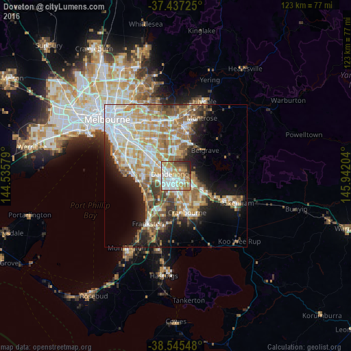
Analysis of Doveton night lights 2016
Square area 10x10 km:
 22.24%
90-99
22.08%80-89
7.79%70-79
13.15%60-69
16.07%50-59
5.84%40-49
4.71%30-39
3.57%20-29
4.55%10-19
0%0-9
0%Square area 50x50 km:
8.43%90-99
8.17%80-89
4.09%70-79
7.28%60-69
7.02%50-59
5.71%40-49
3.81%30-39
3.65%20-29
5.17%10-19
9.77%0-9
36.9%Clear (daylight) street map image can be seen on geolist.org.
Map coordinates:
37° 26' 14.1" South, 144° 32' 8.8" East
37° 59' 36.5" South, 145° 14' 20.1" East
38° 32' 43.7" South, 145° 56' 31.3" East
Some cities around Doveton sort by population:
• Rowville
6.7 km =4.2 mi,  355°
355°
• Dandenong
3.6 km =2.2 mi,  288°
288°
• Keysborough
5.7 km =3.5 mi,  272°
272°
• Hampton Park
4.5 km =2.8 mi,  167°
167°
• Endeavour Hills
2.5 km =1.6 mi,  43°
43°
• Dandenong North
4 km =2.5 mi,  317°
317°
• Hallam
3.5 km =2.2 mi,  136°
136°
• Noble Park North
6.3 km =3.9 mi, 320°
8347324 (p: 9,291)
Sources (retrieved 2019-11-25):
» Earth at Night: Flat Maps 2012, 2016