Hampton Park night lights from space
Night Light of Hampton Park (Victoria) from space (Australia) Src. Average luminocity for 10x10km area is 78.7922% and for 50x50km: 34.9656%.
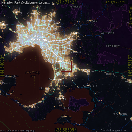
Analysis of Hampton Park night lights 2016
Square area 10x10 km:
 21.27%
90-99
21.59%80-89
7.79%70-79
12.01%60-69
19.32%50-59
8.93%40-49
4.87%30-39
4.22%20-29
0%10-19
0%0-9
0%Square area 50x50 km:
7.35%90-99
7.26%80-89
3.55%70-79
6.53%60-69
6.24%50-59
4.97%40-49
3.38%30-39
3.27%20-29
4.92%10-19
10.84%0-9
41.69%Clear (daylight) street map image can be seen on geolist.org.
Map coordinates:
37° 28' 38.7" South, 144° 32' 48.8" East
38° 1' 60" South, 145° 15' 0" East
38° 35' 6.2" South, 145° 57' 11.3" East
Some cities around Hampton Park sort by population:
• Dandenong
7.1 km =4.4 mi,  321°
321°
• Narre Warren South
3.9 km =2.4 mi,  107°
107°
• Narre Warren
4.4 km =2.7 mi,  90°
90°
• Endeavour Hills
6.3 km =3.9 mi,  6°
6°
• Cranbourne North
6.5 km =4 mi,  139°
139°
• Hallam
2.4 km =1.5 mi,  38°
38°
• Doveton
4.5 km =2.8 mi,  347°
347°
• Lynbrook
2.6 km =1.6 mi,  167°
167°
2163990 (p: 25,377)
Sources (retrieved 2019-11-25):
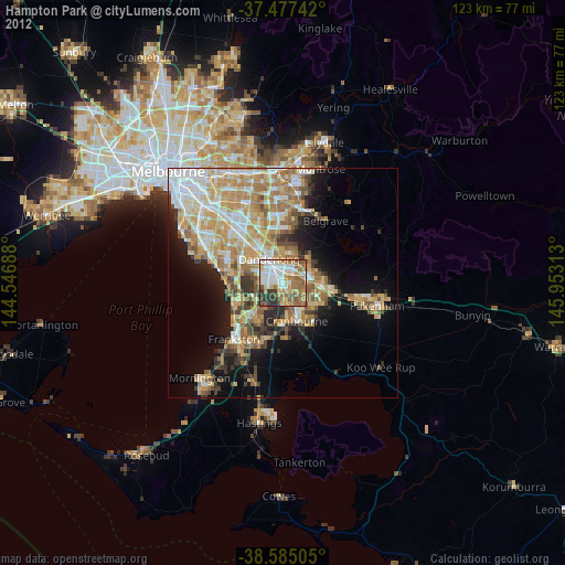
» Earth at Night: Flat Maps 2012, 2016