Berwick night lights from space
Night Light of Berwick (Victoria) from space (Australia) Src. Average luminocity for 10x10km area is 49.9919% and for 50x50km: 28.9383%.
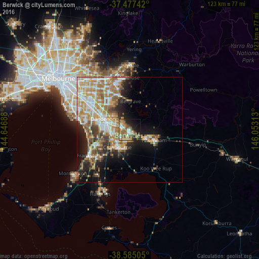
Analysis of Berwick night lights 2016
Square area 10x10 km:
 4.38%
4.38%90-99
9.74%80-89
5.52%70-79
10.06%60-69
9.25%50-59
16.88%40-49
6.01%30-39
3.9%20-29
8.77%10-19
17.21%0-9
8.28%Square area 50x50 km:
4.93%90-99
5.68%80-89
3.05%70-79
5.83%60-69
5.9%50-59
4.47%40-49
3.07%30-39
3.15%20-29
4.32%10-19
9.51%0-9
50.1%Clear (daylight) street map image can be seen on geolist.org.
Map coordinates:
37° 28' 38.7" South, 144° 38' 48.8" East
38° 1' 60" South, 145° 21' 0" East
38° 35' 6.2" South, 146° 3' 11.3" East
Some cities around Berwick sort by population:
• Narre Warren South
5.2 km =3.2 mi,  257°
257°
• Narre Warren
4.4 km =2.7 mi,  270°
270°
• Cranbourne North
6.7 km =4.2 mi,  222°
222°
• Hallam
7.5 km =4.7 mi,  284°
284°
• Lynbrook
8.6 km =5.3 mi,  253°
253°
• Narre Warren North
6.3 km =3.9 mi,  332°
332°
• Officer
5.9 km =3.7 mi,  118°
118°
• Beaconsfield
2.4 km =1.5 mi,  141°
141°
2176031 (p: 47,074)
Sources (retrieved 2019-11-25):
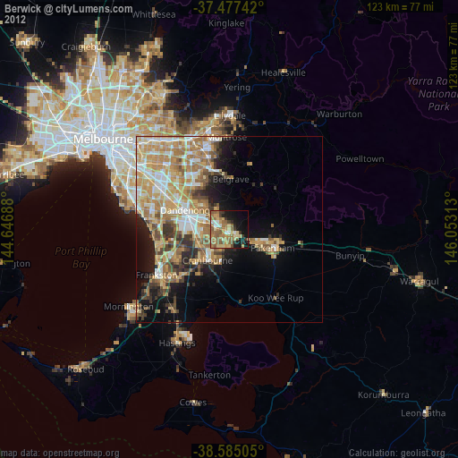
» Earth at Night: Flat Maps 2012, 2016