Narre Warren night lights from space
Night Light of Narre Warren (Victoria) from space (Australia) Src. Average luminocity for 10x10km area is 70.8279% and for 50x50km: 32.6545%.
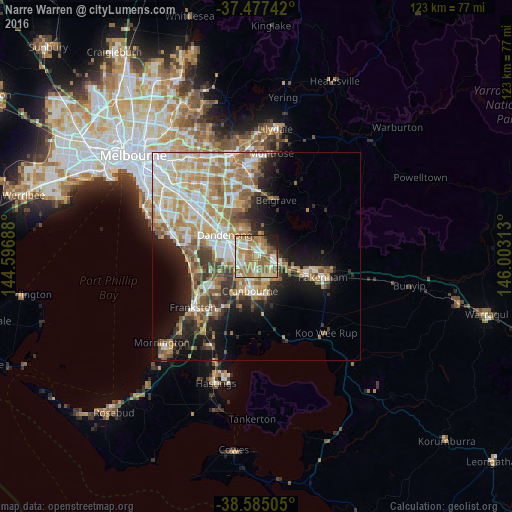
Analysis of Narre Warren night lights 2016
Square area 10x10 km:
 10.71%
90-99
15.75%80-89
9.25%70-79
14.61%60-69
20.62%50-59
18.67%40-49
2.6%30-39
1.3%20-29
3.57%10-19
2.92%0-9
0%Square area 50x50 km:
6.17%90-99
6.76%80-89
3.49%70-79
6.33%60-69
6.15%50-59
4.8%40-49
3.31%30-39
3.14%20-29
4.56%10-19
10.28%0-9
45.03%Clear (daylight) street map image can be seen on geolist.org.
Map coordinates:
37° 28' 38.7" South, 144° 35' 48.8" East
38° 1' 60" South, 145° 18' 0" East
38° 35' 6.2" South, 146° 0' 11.3" East
Some cities around Narre Warren sort by population:
• Berwick
4.4 km =2.7 mi,  90°
90°
• Hampton Park
4.4 km =2.7 mi,  270°
270°
• Endeavour Hills
7.2 km =4.5 mi,  329°
329°
• Cranbourne North
4.9 km =3 mi,  181°
181°
• Hallam
3.5 km =2.2 mi,  302°
302°
• Doveton
6.9 km =4.3 mi,  309°
309°
• Lynbrook
4.6 km =2.9 mi,  236°
236°
• Beaconsfield
6.1 km =3.8 mi,  107°
107°
2155718 (p: 26,389)
Sources (retrieved 2019-11-25):
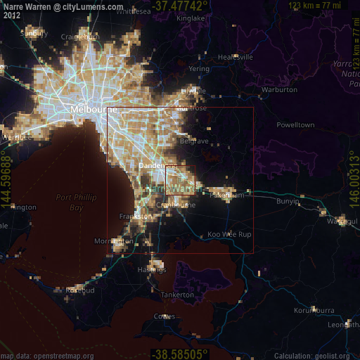
» Earth at Night: Flat Maps 2012, 2016