Lynbrook night lights from space
Night Light of Lynbrook (Victoria) from space (Australia) Src. Average luminocity for 10x10km area is 73.9269% and for 50x50km: 32.4212%.
Analysis of Lynbrook night lights 2016
Square area 10x10 km:
 16.4%
16.4%90-99
18.18%80-89
7.31%70-79
11.36%60-69
19.48%50-59
13.64%40-49
4.38%30-39
9.09%20-29
0.16%10-19
0%0-9
0%Square area 50x50 km:
6.27%90-99
6.47%80-89
3.31%70-79
6.24%60-69
5.92%50-59
4.74%40-49
3.33%30-39
3.23%20-29
4.88%10-19
11.08%0-9
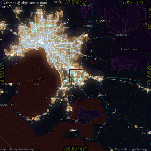
44.5%Clear (daylight) street map image can be seen on geolist.org.
Map coordinates:
37° 30' 0.5" South, 144° 33' 10.9" East
38° 3' 21.2" South, 145° 15' 22.1" East
38° 36' 26.7" South, 145° 57' 33.4" East
Some cities around Lynbrook sort by population:
• Narre Warren South
3.4 km =2.1 mi,  66°
66°
• Narre Warren
4.6 km =2.9 mi,  56°
56°
• Hampton Park
2.6 km =1.6 mi,  347°
347°
• Cranbourne North
4.4 km =2.7 mi,  122°
122°
• Cranbourne
6.8 km =4.2 mi,  159°
159°
• Cranbourne West
4.6 km =2.9 mi,  168°
168°
• Hallam
4.5 km =2.8 mi,  11°
11°
• Skye
6.5 km =4 mi,  212°
212°
8347982 (p: 8,482)
Sources (retrieved 2019-11-25):
» Earth at Night: Flat Maps 2012, 2016