Killara night lights from space
Night Light of Killara (New South Wales) from space (Australia) Src. Average luminocity for 10x10km area is 71.5934% and for 50x50km: 42.8014%.
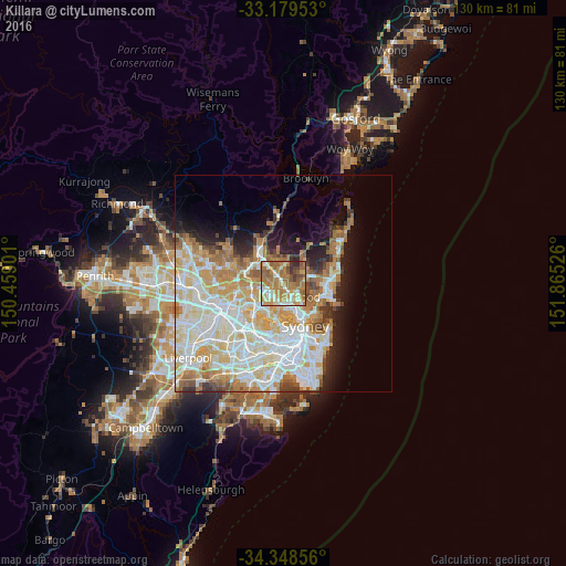
Analysis of Killara night lights 2016
Square area 10x10 km:
 6.59%
6.59%90-99
14.65%80-89
9.52%70-79
16.85%60-69
32.05%50-59
10.44%40-49
5.31%30-39
3.48%20-29
1.1%10-19
0%0-9
0%Square area 50x50 km:
10.78%90-99
11.83%80-89
6.03%70-79
6.7%60-69
7.09%50-59
3.22%40-49
2.05%30-39
2.7%20-29
3.71%10-19
6.3%0-9
39.6%Clear (daylight) street map image can be seen on geolist.org.
Map coordinates:
33° 10' 46.3" South, 150° 27' 32.4" East
33° 45' 57.7" South, 151° 9' 43.7" East
34° 20' 54.8" South, 151° 51' 54.9" East
Some cities around Killara sort by population:
• Saint Ives
4 km =2.5 mi,  356°
356°
• Pymble
3.1 km =1.9 mi,  322°
322°
• Roseville
2.7 km =1.7 mi,  134°
134°
• Lindfield
2 km =1.2 mi,  167°
167°
• Macquarie Park
3.6 km =2.2 mi,  242°
242°
• Forestville
4.3 km =2.7 mi,  90°
90°
• Gordon
1.6 km =1 mi, 319°
• West Pymble
2.7 km =1.7 mi,  268°
268°
9972778 (p: 10,451)
Sources (retrieved 2019-11-25):
» Earth at Night: Flat Maps 2012, 2016