Kensington night lights from space
Night Light of Kensington (New South Wales) from space (Australia) Src. Average luminocity for 10x10km area is 90.028% and for 50x50km: 37.678%.
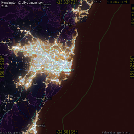
Analysis of Kensington night lights 2016
Square area 10x10 km:
 46.85%
90-99
30.77%80-89
3.67%70-79
7.17%60-69
2.97%50-59
0.17%40-49
2.62%30-39
2.1%20-29
3.67%10-19
0%0-9
0%Square area 50x50 km:
9.12%90-99
9.73%80-89
4.74%70-79
6.21%60-69
7.02%50-59
3.37%40-49
2.3%30-39
3.01%20-29
3.81%10-19
5.53%0-9
45.15%Clear (daylight) street map image can be seen on geolist.org.
Map coordinates:
33° 20' 5" South, 150° 31' 9.4" East
33° 55' 12.7" South, 151° 13' 20.7" East
34° 30' 5.9" South, 151° 55' 31.9" East
Some cities around Kensington sort by population:
• Randwick
2.5 km =1.6 mi,  75°
75°
• Mascot
2.7 km =1.7 mi,  256°
256°
• Kingsford
0.6 km =0.4 mi,  132°
132°
• Coogee
3 km =1.9 mi,  90°
90°
• Zetland
1.9 km =1.2 mi,  317°
317°
• Alexandria
3.1 km =1.9 mi, 316°
• Eastlakes
1.6 km =1 mi,  215°
215°
• South Coogee
3.3 km =2.1 mi,  111°
111°
2161608 (p: 15,021)
Sources (retrieved 2019-11-25):
» Earth at Night: Flat Maps 2012, 2016