Eastlakes night lights from space
Night Light of Eastlakes (New South Wales) from space (Australia) Src. Average luminocity for 10x10km area is 91.736% and for 50x50km: 38.1922%.
Analysis of Eastlakes night lights 2016
Square area 10x10 km:
 49.13%
90-99
30.42%80-89
2.8%70-79
5.94%60-69
4.02%50-59
3.85%40-49
2.62%30-39
0.35%20-29
0.87%10-19
0%0-9
0%Square area 50x50 km:
9.57%90-99
10.13%80-89
4.94%70-79
6.17%60-69
6.82%50-59
3.21%40-49
2.19%30-39
2.85%20-29
3.4%10-19
5.26%0-9
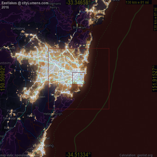
45.47%Clear (daylight) street map image can be seen on geolist.org.
Map coordinates:
33° 20' 47.7" South, 150° 30' 32.5" East
33° 55' 55.1" South, 151° 12' 43.7" East
34° 30' 48" South, 151° 54' 55" East
Some cities around Eastlakes sort by population:
• Maroubra
2.8 km =1.7 mi,  135°
135°
• Mascot
1.8 km =1.1 mi,  291°
291°
• Kingsford
1.7 km =1.1 mi,  57°
57°
• Kensington
1.6 km =1 mi,  35°
35°
• Botany
2.2 km =1.4 mi,  223°
223°
• Zetland
2.7 km =1.7 mi,  353°
353°
• Alexandria
3.8 km =2.4 mi,  341°
341°
• Hillsdale
2.6 km =1.6 mi,  146°
146°
8348559 (p: 6,884)
Sources (retrieved 2019-11-25):
» Earth at Night: Flat Maps 2012, 2016