Coogee night lights from space
Night Light of Coogee (New South Wales) from space (Australia) Src. Average luminocity for 10x10km area is 66.3234% and for 50x50km: 34.064%.
Analysis of Coogee night lights 2016
Square area 10x10 km:
 22.55%
90-99
27.1%80-89
4.2%70-79
5.77%60-69
2.62%50-59
0.7%40-49
2.62%30-39
2.27%20-29
13.11%10-19
15.21%0-9
3.85%Square area 50x50 km:
8.3%90-99
8.65%80-89
4.15%70-79
5.27%60-69
6.73%50-59
3.21%40-49
2.19%30-39
2.86%20-29
3.5%10-19
5.06%0-9
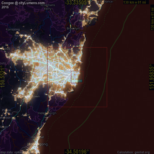
50.07%Clear (daylight) street map image can be seen on geolist.org.
Map coordinates:
33° 20' 6.2" South, 150° 33' 7.6" East
33° 55' 13.8" South, 151° 15' 18.8" East
34° 30' 7.1" South, 151° 57' 30.1" East
Some cities around Coogee sort by population:
• Randwick
0.9 km =0.6 mi,  319°
319°
• Kingsford
2.6 km =1.6 mi,  261°
261°
• Kensington
3 km =1.9 mi,  270°
270°
• Bondi Beach
3.9 km =2.4 mi,  33°
33°
• Bondi
3 km =1.9 mi,  16°
16°
• Bondi Junction
3.2 km =2 mi,  346°
346°
• Bronte
2.3 km =1.4 mi, 24°
• South Coogee
1.2 km =0.7 mi,  176°
176°
2170697 (p: 15,333)
Sources (retrieved 2019-11-25):
» Earth at Night: Flat Maps 2012, 2016