Zetland night lights from space
Night Light of Zetland (New South Wales) from space (Australia) Src. Average luminocity for 10x10km area is 96.2902% and for 50x50km: 40.3019%.
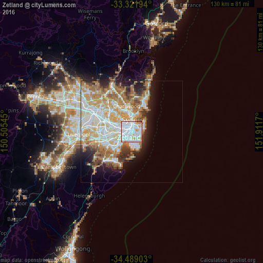
Analysis of Zetland night lights 2016
Square area 10x10 km:
 56.64%
90-99
32.17%80-89
3.32%70-79
5.59%60-69
1.22%50-59
0%40-49
1.05%30-39
0%20-29
0%10-19
0%0-9
0%Square area 50x50 km:
9.77%90-99
10.43%80-89
5.08%70-79
6.57%60-69
7.52%50-59
3.47%40-49
2.45%30-39
3.13%20-29
4.4%10-19
6.3%0-9
40.88%Clear (daylight) street map image can be seen on geolist.org.
Map coordinates:
33° 19' 19" South, 150° 30' 19.6" East
33° 54' 26.9" South, 151° 12' 30.9" East
34° 29' 20.5" South, 151° 54' 42.1" East
Some cities around Zetland sort by population:
• Surry Hills
2.7 km =1.7 mi,  8°
8°
• Mascot
2.5 km =1.6 mi,  214°
214°
• Kingsford
2.5 km =1.6 mi,  136°
136°
• Kensington
1.9 km =1.2 mi, 137°
• Redfern
1.7 km =1.1 mi,  345°
345°
• Chippendale
2.5 km =1.6 mi,  336°
336°
• Alexandria
1.2 km =0.7 mi,  315°
315°
• Erskineville
2.2 km =1.4 mi,  284°
284°
8348771 (p: 10,269)
Sources (retrieved 2019-11-25):
» Earth at Night: Flat Maps 2012, 2016