Randwick night lights from space
Night Light of Randwick (New South Wales) from space (Australia) Src. Average luminocity for 10x10km area is 73.715% and for 50x50km: 35.192%.
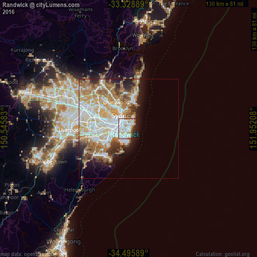
Analysis of Randwick night lights 2016
Square area 10x10 km:
 29.2%
29.2%90-99
27.8%80-89
4.55%70-79
6.47%60-69
2.27%50-59
1.4%40-49
2.62%30-39
2.27%20-29
12.94%10-19
9.97%0-9
0.52%Square area 50x50 km:
8.55%90-99
8.88%80-89
4.31%70-79
5.53%60-69
6.91%50-59
3.26%40-49
2.28%30-39
2.93%20-29
3.78%10-19
5.37%0-9
48.19%Clear (daylight) street map image can be seen on geolist.org.
Map coordinates:
33° 19' 44" South, 150° 32' 45" East
33° 54' 51.8" South, 151° 14' 56.2" East
34° 29' 45.2" South, 151° 57' 7.5" East
Some cities around Randwick sort by population:
• Kingsford
2.2 km =1.4 mi,  241°
241°
• Coogee
0.9 km =0.6 mi,  139°
139°
• Kensington
2.5 km =1.6 mi,  255°
255°
• Bondi
2.7 km =1.7 mi,  32°
32°
• Bondi Junction
2.4 km =1.5 mi,  356°
356°
• Woollahra
3.2 km =2 mi,  339°
339°
• Bronte
2.1 km =1.3 mi,  48°
48°
• South Coogee
2 km =1.2 mi,  160°
160°
2208285 (p: 30,532)
Sources (retrieved 2019-11-25):
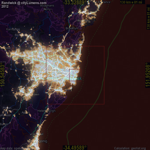
» Earth at Night: Flat Maps 2012, 2016