Irymple night lights from space
Night Light of Irymple (Victoria) from space (Australia) Src. Average luminocity for 10x10km area is 27.6319% and for 50x50km: 2.3523%.
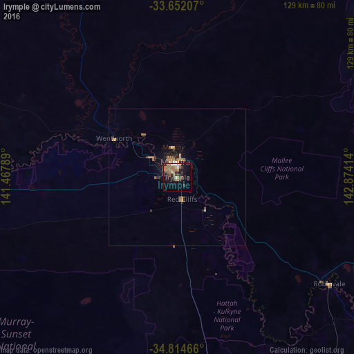
Analysis of Irymple night lights 2016
Square area 10x10 km:
 2.38%
2.38%90-99
2.75%80-89
0.73%70-79
5.31%60-69
9.71%50-59
4.03%40-49
4.4%30-39
4.58%20-29
5.68%10-19
20.51%0-9
39.93%Square area 50x50 km:
0.15%90-99
0.19%80-89
0.03%70-79
0.52%60-69
0.8%50-59
0.33%40-49
0.27%30-39
0.37%20-29
0.45%10-19
1.94%0-9
94.94%Clear (daylight) street map image can be seen on geolist.org.
Map coordinates:
33° 39' 7.5" South, 141° 28' 4.4" East
34° 14' 7.3" South, 142° 10' 15.6" East
34° 48' 52.8" South, 142° 52' 26.9" East
Some cities around Irymple sort by population:
• Mildura
5.6 km =3.5 mi,  351°
351°
• Broken Hill
261.2 km =162.3 mi, 345°
• Murray Bridge
282.6 km =175.6 mi,  249°
249°
• Horsham
275.3 km =171.1 mi,  179°
179°
• Swan Hill
176 km =109.4 mi,  134°
134°
• Deniliquin
291.9 km =181.4 mi,  119°
119°
• Nuriootpa
292.4 km =181.7 mi,  264°
264°
• Moama
314 km =195.1 mi, 131°
2162586 (p: 5,182)
Sources (retrieved 2019-11-25):
» Earth at Night: Flat Maps 2012, 2016