Deniliquin night lights from space
Night Light of Deniliquin (New South Wales) from space (Australia) Src. Average luminocity for 10x10km area is 7.6612% and for 50x50km: 0.2979%.
Analysis of Deniliquin night lights 2016
Square area 10x10 km:
 0.55%
0.55%90-99
0.18%80-89
0.37%70-79
0.92%60-69
2.38%50-59
1.47%40-49
2.93%30-39
2.38%20-29
1.28%10-19
0%0-9
87.55%Square area 50x50 km:
0.02%90-99
0.01%80-89
0.01%70-79
0.03%60-69
0.09%50-59
0.06%40-49
0.11%30-39
0.09%20-29
0.05%10-19
0%0-9
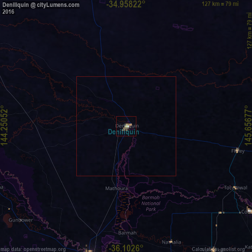
99.53%Clear (daylight) street map image can be seen on geolist.org.
Map coordinates:
34° 57' 29.6" South, 144° 15' 1.9" East
35° 31' 56.8" South, 144° 57' 13.1" East
36° 6' 9.4" South, 145° 39' 24.4" East
Some cities around Deniliquin sort by population:
• Shepparton
102.4 km =63.6 mi,  156°
156°
• Echuca
70 km =43.5 mi,  195°
195°
• Mooroopna
102.8 km =63.9 mi, 159°
• Yarrawonga
108.8 km =67.6 mi,  119°
119°
• Kyabram
87.3 km =54.2 mi,  174°
174°
• Kialla
109.8 km =68.2 mi, 157°
• Moama
65.9 km =40.9 mi, 195°
• Cobram
75.6 km =47 mi, 124°
2169068 (p: 7,793)
Sources (retrieved 2019-11-25):
» Earth at Night: Flat Maps 2012, 2016