Murray Bridge night lights from space
Night Light of Murray Bridge (South Australia) from space (Australia) Src. Average luminocity for 10x10km area is 17.5734% and for 50x50km: 1.1127%.
Analysis of Murray Bridge night lights 2016
Square area 10x10 km:
 0.87%
0.87%90-99
0.52%80-89
0.7%70-79
4.02%60-69
5.77%50-59
3.85%40-49
3.85%30-39
2.97%20-29
1.57%10-19
4.55%0-9
71.33%Square area 50x50 km:
0.04%90-99
0.03%80-89
0.04%70-79
0.25%60-69
0.39%50-59
0.18%40-49
0.27%30-39
0.29%20-29
0.11%10-19
0.25%0-9
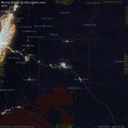
98.18%Clear (daylight) street map image can be seen on geolist.org.
Map coordinates:
34° 32' 33.8" South, 138° 34' 13.2" East
35° 7' 11.5" South, 139° 16' 24.4" East
35° 41' 34.6" South, 139° 58' 35.7" East
Some cities around Murray Bridge sort by population:
• Adelaide Hills
56.5 km =35.1 mi,  294°
294°
• Mount Barker
37.5 km =23.3 mi,  279°
279°
• Athelstone
59.2 km =36.8 mi,  297°
297°
• Magill
59.3 km =36.8 mi, 293°
• Campbelltown
61.2 km =38 mi, 295°
• Rostrevor
58.6 km =36.4 mi, 295°
• Highbury
60.3 km =37.5 mi, 299°
• Strathalbyn
38 km =23.6 mi,  245°
245°
2065176 (p: 14,491)
Sources (retrieved 2019-11-25):
» Earth at Night: Flat Maps 2012, 2016