Moama night lights from space
Night Light of Moama (New South Wales) from space (Australia) Src. Average luminocity for 10x10km area is 17.5348% and for 50x50km: 0.9437%.
Analysis of Moama night lights 2016
Square area 10x10 km:
 1.47%
1.47%90-99
1.47%80-89
0%70-79
7.51%60-69
3.66%50-59
4.21%40-49
0%30-39
1.28%20-29
2.75%10-19
7.51%0-9
70.15%Square area 50x50 km:
0.05%90-99
0.05%80-89
0%70-79
0.35%60-69
0.18%50-59
0.21%40-49
0.05%30-39
0.11%20-29
0.19%10-19
0.4%0-9
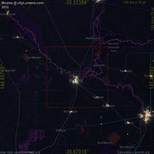
98.39%Clear (daylight) street map image can be seen on geolist.org.
Map coordinates:
35° 32' 2.4" South, 144° 3' 27.6" East
36° 6' 14.9" South, 144° 45' 38.9" East
36° 40' 12.6" South, 145° 27' 50.1" East
Some cities around Moama sort by population:
• Shepparton
64.9 km =40.3 mi,  118°
118°
• Echuca
4.1 km =2.5 mi,  191°
191°
• Deniliquin
65.9 km =40.9 mi,  15°
15°
• Mooroopna
62.2 km =38.6 mi, 121°
• Kyabram
34.9 km =21.7 mi,  131°
131°
• Kialla
69.9 km =43.4 mi, 123°
• Cobram
81.7 km =50.8 mi,  75°
75°
• Eaglehawk
81.9 km =50.9 mi,  213°
213°
2157355 (p: 6,164)
Sources (retrieved 2019-11-25):
» Earth at Night: Flat Maps 2012, 2016