Swan Hill night lights from space
Night Light of Swan Hill (Victoria) from space (Australia) Src. Average luminocity for 10x10km area is 11.3187% and for 50x50km: 0.4642%.
Analysis of Swan Hill night lights 2016
Square area 10x10 km:
 0.73%
0.73%90-99
0.73%80-89
1.47%70-79
1.28%60-69
2.38%50-59
3.3%40-49
1.47%30-39
4.03%20-29
0.37%10-19
0.55%0-9
83.7%Square area 50x50 km:
0.03%90-99
0.03%80-89
0.06%70-79
0.05%60-69
0.09%50-59
0.14%40-49
0.06%30-39
0.16%20-29
0.01%10-19
0.02%0-9
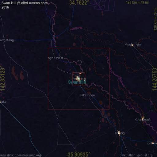
99.36%Clear (daylight) street map image can be seen on geolist.org.
Map coordinates:
34° 45' 43.9" South, 142° 51' 4.6" East
35° 20' 16.1" South, 143° 33' 15.8" East
35° 54' 33.7" South, 144° 15' 27.1" East
Some cities around Swan Hill sort by population:
• Bendigo
170.9 km =106.2 mi,  157°
157°
• Echuca
140.2 km =87.1 mi,  129°
129°
• Golden Square
171.4 km =106.5 mi, 158°
• Deniliquin
128.6 km =79.9 mi,  99°
99°
• Moama
138.3 km =85.9 mi, 128°
• Bendigo city centre
170.7 km =106.1 mi, 157°
• Strathdale
172.9 km =107.4 mi, 156°
• Eaglehawk
165.5 km =102.8 mi, 157°
2147756 (p: 10,875)
Sources (retrieved 2019-11-25):
» Earth at Night: Flat Maps 2012, 2016