Mildura night lights from space
Night Light of Mildura (Victoria) from space (Australia) Src. Average luminocity for 10x10km area is 34.2985% and for 50x50km: 2.3518%.
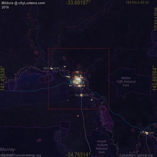

Analysis of Mildura night lights 2016
Square area 10x10 km:
 2.38%
2.38%90-99
4.21%80-89
0.73%70-79
8.42%60-69
13.37%50-59
5.49%40-49
2.93%30-39
4.21%20-29
3.85%10-19
33.52%0-9
20.88%Square area 50x50 km:
0.15%90-99
0.19%80-89
0.03%70-79
0.52%60-69
0.8%50-59
0.33%40-49
0.27%30-39
0.37%20-29
0.45%10-19
1.94%0-9
94.94%Clear (daylight) street map image can be seen on geolist.org.
Map coordinates:
33° 36' 6.7" South, 141° 27' 33.8" East
34° 11' 7.8" South, 142° 9' 45" East
34° 45' 54.5" South, 142° 51' 56.3" East
Some cities around Mildura sort by population:
• Broken Hill
255.6 km =158.8 mi,  344°
344°
• Murray Bridge
283.9 km =176.4 mi,  248°
248°
• Horsham
280.9 km =174.5 mi,  179°
179°
• Swan Hill
180.5 km =112.2 mi,  135°
135°
• Deniliquin
295.4 km =183.6 mi,  120°
120°
• Nuriootpa
292.3 km =181.6 mi,  263°
263°
• Gawler East
315.2 km =195.9 mi, 261°
• Irymple
5.6 km =3.5 mi,  171°
171°
2157698 (p: 32,936)
Sources (retrieved 2019-11-25):
» Earth at Night: Flat Maps 2012, 2016