Horsham night lights from space
Night Light of Horsham (Victoria) from space (Australia) Src. Average luminocity for 10x10km area is 13.315% and for 50x50km: 0.5417%.
Analysis of Horsham night lights 2016
Square area 10x10 km:
 0.37%
0.37%90-99
1.1%80-89
1.47%70-79
2.93%60-69
2.56%50-59
2.56%40-49
1.47%30-39
5.31%20-29
1.28%10-19
0%0-9
80.95%Square area 50x50 km:
0.01%90-99
0.04%80-89
0.05%70-79
0.11%60-69
0.1%50-59
0.1%40-49
0.05%30-39
0.23%20-29
0.07%10-19
0%0-9
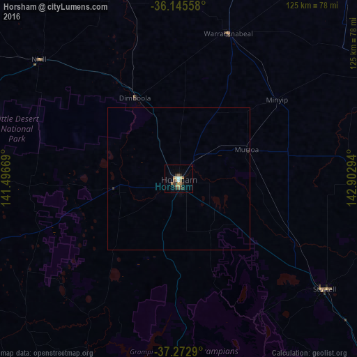
99.23%Clear (daylight) street map image can be seen on geolist.org.
Map coordinates:
36° 8' 44.1" South, 141° 29' 48.1" East
36° 42' 40.7" South, 142° 11' 59.3" East
37° 16' 22.4" South, 142° 54' 10.6" East
Some cities around Horsham sort by population:
• Wendouree
170.7 km =106.1 mi,  122°
122°
• Hamilton
115.9 km =72 mi,  187°
187°
• Alfredton
172 km =106.9 mi, 123°
• Ararat
90.8 km =56.4 mi,  134°
134°
• Maryborough
141.9 km =88.2 mi,  105°
105°
• Delacombe
173.2 km =107.6 mi, 124°
• Stawell
64.4 km =40 mi, 126°
• Naracoorte
132.9 km =82.6 mi,  258°
258°
2163055 (p: 14,233)
Sources (retrieved 2019-11-25):
» Earth at Night: Flat Maps 2012, 2016