Broken Hill night lights from space
Night Light of Broken Hill (New South Wales) from space (Australia) Src. Average luminocity for 10x10km area is 29.0017% and for 50x50km: 1.3262%.
Analysis of Broken Hill night lights 2016
Square area 10x10 km:
 2.62%
2.62%90-99
5.24%80-89
1.92%70-79
8.04%60-69
3.85%50-59
2.8%40-49
4.37%30-39
3.5%20-29
1.57%10-19
30.77%0-9
35.31%Square area 50x50 km:
0.11%90-99
0.22%80-89
0.08%70-79
0.33%60-69
0.16%50-59
0.12%40-49
0.18%30-39
0.14%20-29
0.08%10-19
1.29%0-9
97.29%Clear (daylight) street map image can be seen on geolist.org.
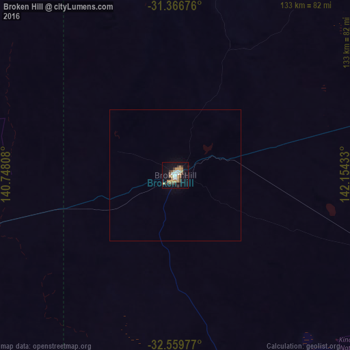
Map coordinates:
31° 22' 0.3" South, 140° 44' 53.1" East
31° 57' 54.7" South, 141° 27' 4.3" East
32° 33' 35.2" South, 142° 9' 15.6" East
Some cities around Broken Hill sort by population:
• Mildura
255.6 km =158.8 mi,  164°
164°
• Gawler
386.1 km =239.9 mi,  220°
220°
• Port Pirie
349.4 km =217.1 mi,  247°
247°
• Whyalla Norrie
385.4 km =239.5 mi, 252°
• Port Augusta
351 km =218.1 mi,  260°
260°
• Nuriootpa
359.9 km =223.6 mi, 219°
• Gawler East
384.9 km =239.2 mi, 220°
• Irymple
261.2 km =162.3 mi,  165°
165°
2173911 (p: 18,027)
Sources (retrieved 2019-11-25):
» Earth at Night: Flat Maps 2012, 2016