Dandenong night lights from space
Night Light of Dandenong (Victoria) from space (Australia) Src. Average luminocity for 10x10km area is 82.7922% and for 50x50km: 41.5276%.
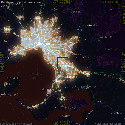
Analysis of Dandenong night lights 2016
Square area 10x10 km:
 23.54%
90-99
25.97%80-89
10.39%70-79
15.58%60-69
12.34%50-59
6.66%40-49
4.22%30-39
1.3%20-29
0%10-19
0%0-9
0%Square area 50x50 km:
9.84%90-99
8.74%80-89
4.38%70-79
7.37%60-69
7.16%50-59
5.88%40-49
3.8%30-39
3.73%20-29
5.57%10-19
9.49%0-9
34.03%Clear (daylight) street map image can be seen on geolist.org.
Map coordinates:
37° 25' 37.3" South, 144° 29' 48.8" East
37° 58' 60" South, 145° 12' 0" East
38° 32' 7.5" South, 145° 54' 11.3" East
Some cities around Dandenong sort by population:
• Noble Park
3.5 km =2.2 mi,  302°
302°
• Keysborough
2.5 km =1.6 mi,  249°
249°
• Endeavour Hills
5.2 km =3.2 mi,  82°
82°
• Springvale
5.7 km =3.5 mi,  313°
313°
• Springvale South
4.8 km =3 mi,  292°
292°
• Dingley Village
5.8 km =3.6 mi,  270°
270°
• Doveton
3.6 km =2.2 mi,  108°
108°
• Noble Park North
3.8 km =2.4 mi,  350°
350°
2169460 (p: 30,193)
Sources (retrieved 2019-11-25):
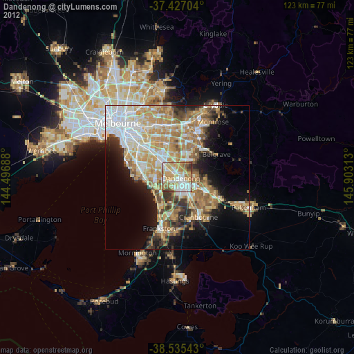
» Earth at Night: Flat Maps 2012, 2016