Coomera night lights from space
Night Light of Coomera (Queensland) from space (Australia) Src. Average luminocity for 10x10km area is 46.9299% and for 50x50km: 18.5279%.
Analysis of Coomera night lights 2016
Square area 10x10 km:
 5.3%
5.3%90-99
6.82%80-89
6.63%70-79
3.79%60-69
21.4%50-59
4.92%40-49
6.44%30-39
4.55%20-29
8.14%10-19
21.59%0-9
10.42%Square area 50x50 km:
2.83%90-99
3.07%80-89
1.75%70-79
1.64%60-69
6.3%50-59
2.03%40-49
2.13%30-39
2.51%20-29
4.6%10-19
9.32%0-9
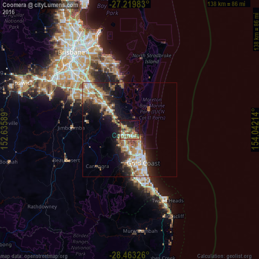
63.82%Clear (daylight) street map image can be seen on geolist.org.
Map coordinates:
27° 13' 11.4" South, 152° 38' 9.2" East
27° 50' 36" South, 153° 20' 20.4" East
28° 27' 47.7" South, 154° 2' 31.7" East
Some cities around Coomera sort by population:
• Upper Coomera
6.4 km =4 mi,  234°
234°
• Helensvale
8.4 km =5.2 mi,  184°
184°
• Oxenford
5.8 km =3.6 mi,  205°
205°
• Hope Island
3.3 km =2.1 mi,  157°
157°
• Coombabah
8.1 km =5 mi, 157°
• Pimpama
4.8 km =3 mi,  307°
307°
• Runaway Bay
9.7 km =6 mi,  143°
143°
• Paradise Point
7.2 km =4.5 mi,  132°
132°
11694935 (p: 13,165)
Sources (retrieved 2019-11-25):
» Earth at Night: Flat Maps 2012, 2016