Paradise Point night lights from space
Night Light of Paradise Point (Queensland) from space (Australia) Src. Average luminocity for 10x10km area is 40.7386% and for 50x50km: 16.9495%.
Analysis of Paradise Point night lights 2016
Square area 10x10 km:
 3.41%
3.41%90-99
6.44%80-89
3.22%70-79
2.46%60-69
17.05%50-59
5.87%40-49
10.98%30-39
4.73%20-29
8.33%10-19
21.21%0-9
16.29%Square area 50x50 km:
2.89%90-99
3.04%80-89
1.48%70-79
1.28%60-69
5.43%50-59
1.92%40-49
1.85%30-39
2.28%20-29
4.05%10-19
8.55%0-9
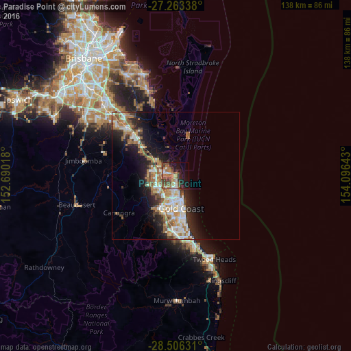
67.24%Clear (daylight) street map image can be seen on geolist.org.
Map coordinates:
27° 15' 48.2" South, 152° 41' 24.6" East
27° 53' 11.9" South, 153° 23' 35.9" East
28° 30' 22.7" South, 154° 5' 47.1" East
Some cities around Paradise Point sort by population:
• Labrador
6.4 km =4 mi,  175°
175°
• Helensvale
6.9 km =4.3 mi,  239°
239°
• Coomera
7.2 km =4.5 mi,  312°
312°
• Hope Island
4.5 km =2.8 mi,  293°
293°
• Coombabah
3.5 km =2.2 mi,  219°
219°
• Arundel
6.4 km =4 mi,  207°
207°
• Runaway Bay
3.1 km =1.9 mi,  171°
171°
• Biggera Waters
5.1 km =3.2 mi, 172°
6697782 (p: 6,488)
Sources (retrieved 2019-11-25):
» Earth at Night: Flat Maps 2012, 2016