Coombabah night lights from space
Night Light of Coombabah (Queensland) from space (Australia) Src. Average luminocity for 10x10km area is 65.6496% and for 50x50km: 17.3944%.
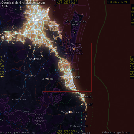
Analysis of Coombabah night lights 2016
Square area 10x10 km:
 9.47%
9.47%90-99
11.93%80-89
8.52%70-79
8.14%60-69
27.84%50-59
9.66%40-49
10.98%30-39
4.73%20-29
4.92%10-19
3.79%0-9
0%Square area 50x50 km:
2.9%90-99
3.1%80-89
1.53%70-79
1.33%60-69
5.37%50-59
1.92%40-49
2.06%30-39
2.31%20-29
4.49%10-19
9.18%0-9
65.8%Clear (daylight) street map image can be seen on geolist.org.
Map coordinates:
27° 17' 15.4" South, 152° 40' 4.1" East
27° 54' 38.6" South, 153° 22' 15.3" East
28° 31' 49" South, 154° 4' 26.6" East
Some cities around Coombabah sort by population:
• Labrador
4.6 km =2.9 mi,  144°
144°
• Helensvale
3.8 km =2.4 mi,  257°
257°
• Hope Island
4.9 km =3 mi,  337°
337°
• Arundel
3.1 km =1.9 mi,  194°
194°
• Runaway Bay
2.7 km =1.7 mi,  97°
97°
• Biggera Waters
3.8 km =2.4 mi,  129°
129°
• Parkwood
4.9 km =3 mi, 189°
• Paradise Point
3.5 km =2.2 mi,  39°
39°
8348789 (p: 10,270)
Sources (retrieved 2019-11-25):
» Earth at Night: Flat Maps 2012, 2016