Tres Arroyos night lights from space
Night Light of Tres Arroyos (Buenos Aires) from space (Argentina) Src. Average luminocity for 10x10km area is 35.8197% and for 50x50km: 1.7137%.
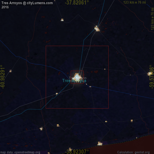
Analysis of Tres Arroyos night lights 2016
Square area 10x10 km:
 8.5%
8.5%90-99
7.14%80-89
1.87%70-79
4.08%60-69
4.93%50-59
4.42%40-49
3.06%30-39
3.4%20-29
3.06%10-19
40.14%0-9
19.39%Square area 50x50 km:
0.33%90-99
0.28%80-89
0.1%70-79
0.16%60-69
0.25%50-59
0.2%40-49
0.15%30-39
0.16%20-29
0.22%10-19
1.86%0-9
96.3%Clear (daylight) street map image can be seen on geolist.org.
Map coordinates:
37° 49' 14.2" South, 60° 58' 58.5" West
38° 22' 26.2" South, 60° 16' 47.2" West
38° 55' 23.1" South, 59° 34' 36" West
Some cities around Tres Arroyos sort by population:
• Bahía Blanca
177.5 km =110.3 mi,  257°
257°
• Tandil
154.3 km =95.9 mi,  40°
40°
• Olavarría
164.7 km =102.3 mi,  358°
358°
• Necochea
135.6 km =84.3 mi,  98°
98°
• Punta Alta
165.5 km =102.8 mi,  250°
250°
• Azul
181.4 km =112.7 mi,  11°
11°
• Coronel Suárez
177.4 km =110.2 mi,  305°
305°
• Coronel Dorrego
95.6 km =59.4 mi, 246°
3833859 (p: 47,136)
Sources (retrieved 2019-11-25):
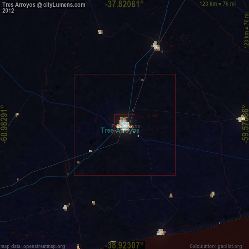
» Earth at Night: Flat Maps 2012, 2016