Tandil night lights from space
Night Light of Tandil (Buenos Aires) from space (Argentina) Src. Average luminocity for 10x10km area is 61.4286% and for 50x50km: 3.6522%.
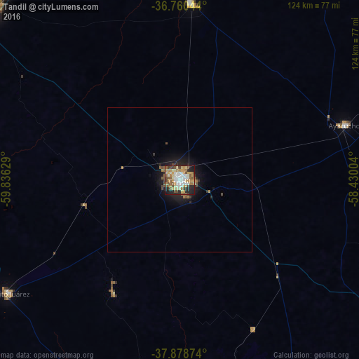
Analysis of Tandil night lights 2016
Square area 10x10 km:
 9.42%
9.42%90-99
14.12%80-89
9.74%70-79
12.99%60-69
8.28%50-59
8.6%40-49
10.23%30-39
3.25%20-29
13.8%10-19
9.58%0-9
0%Square area 50x50 km:
0.39%90-99
0.59%80-89
0.42%70-79
0.6%60-69
0.48%50-59
0.58%40-49
0.64%30-39
0.29%20-29
0.89%10-19
2.73%0-9
92.38%Clear (daylight) street map image can be seen on geolist.org.
Map coordinates:
36° 45' 37.6" South, 59° 50' 10.6" West
37° 19' 18" South, 59° 7' 59.4" West
37° 52' 43.5" South, 58° 25' 48.1" West
Some cities around Tandil sort by population:
• Mar del Plata
158 km =98.2 mi,  118°
118°
• Olavarría
115.7 km =71.9 mi,  294°
294°
• Necochea
141.4 km =87.9 mi,  165°
165°
• Azul
88.4 km =54.9 mi,  313°
313°
• Tres Arroyos
154.3 km =95.9 mi,  220°
220°
• Balcarce
96.9 km =60.2 mi,  127°
127°
• Dolores
171.2 km =106.4 mi,  49°
49°
• Villa Gesell
191.2 km =118.8 mi,  88°
88°
3427833 (p: 104,325)
Sources (retrieved 2019-11-25):
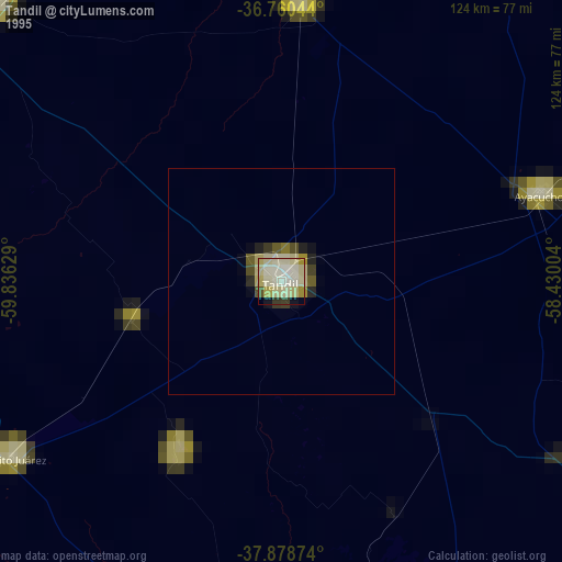
» NASA, Earths city lights 1995
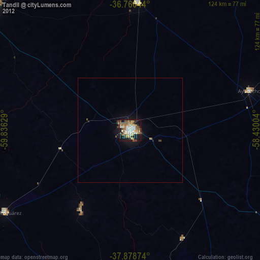
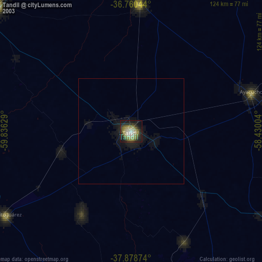
» NASA city lights 2003
» Earth at Night: Flat Maps 2012, 2016