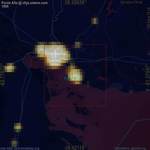
Punta Alta night lights from space
Night Light of Punta Alta (Buenos Aires) from space (Argentina) Src. Average luminocity for 10x10km area is 30.619% and for 50x50km: 8.5759%.
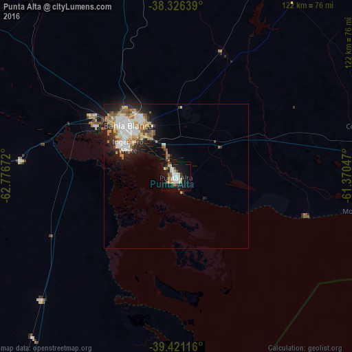
Analysis of Punta Alta night lights 2016
Square area 10x10 km:
 4.08%
4.08%90-99
8.33%80-89
4.08%70-79
2.55%60-69
1.53%50-59
5.78%40-49
1.7%30-39
2.72%20-29
2.04%10-19
38.61%0-9
28.57%Square area 50x50 km:
1.53%90-99
1.89%80-89
0.94%70-79
1.11%60-69
1.14%50-59
1.27%40-49
0.57%30-39
0.88%20-29
1.99%10-19
4.88%0-9
83.79%Clear (daylight) street map image can be seen on geolist.org.
Map coordinates:
38° 19' 35" South, 62° 46' 36.2" West
38° 52' 33.2" South, 62° 4' 24.9" West
39° 25' 16.2" South, 61° 22' 13.7" West
Some cities around Punta Alta sort by population:
• Bahía Blanca
24.5 km =15.2 mi,  315°
315°
• Olavarría
268.8 km =167 mi,  34°
34°
• Viedma
229.4 km =142.5 mi,  200°
200°
• Tres Arroyos
165.5 km =102.8 mi,  70°
70°
• Coronel Suárez
158.5 km =98.5 mi,  4°
4°
• Coronel Dorrego
70.3 km =43.7 mi,  75°
75°
• General Conesa
245.8 km =152.7 mi,  236°
236°
• Guatraché
185 km =115 mi, 316°
3839982 (p: 57,209)
Sources (retrieved 2019-11-25):
» NASA, Earths city lights 1995
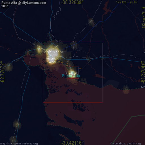
» NASA city lights 2003
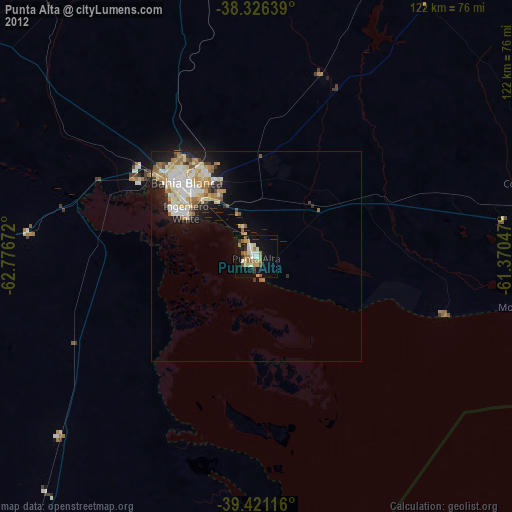
» Earth at Night: Flat Maps 2012, 2016