Necochea night lights from space
Night Light of Necochea (Buenos Aires) from space (Argentina) Src. Average luminocity for 10x10km area is 51.3847% and for 50x50km: 2.6442%.
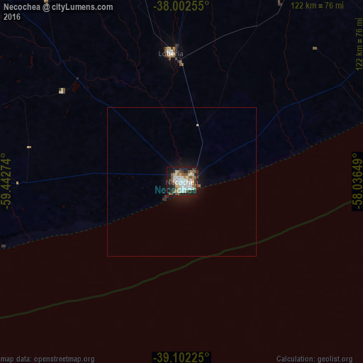
Analysis of Necochea night lights 2016
Square area 10x10 km:
 11.04%
90-99
13.64%80-89
4.87%70-79
6.17%60-69
2.92%50-59
11.69%40-49
3.57%30-39
4.38%20-29
13.31%10-19
25.97%0-9
2.44%Square area 50x50 km:
0.46%90-99
0.56%80-89
0.23%70-79
0.25%60-69
0.15%50-59
0.51%40-49
0.17%30-39
0.27%20-29
0.63%10-19
2.46%0-9
94.3%Clear (daylight) street map image can be seen on geolist.org.
Map coordinates:
38° 0' 9.2" South, 59° 26' 33.9" West
38° 33' 16.2" South, 58° 44' 22.6" West
39° 6' 8.1" South, 58° 2' 11.4" West
Some cities around Necochea sort by population:
• Mar del Plata
120.3 km =74.8 mi,  59°
59°
• Tandil
141.4 km =87.9 mi,  345°
345°
• Olavarría
231.3 km =143.7 mi,  323°
323°
• Azul
220.8 km =137.2 mi,  333°
333°
• Tres Arroyos
135.6 km =84.3 mi,  278°
278°
• Balcarce
89.4 km =55.6 mi,  28°
28°
• Villa Gesell
211.2 km =131.2 mi,  47°
47°
• Coronel Dorrego
222 km =137.9 mi,  265°
265°
3430443 (p: 80,478)
Sources (retrieved 2019-11-25):
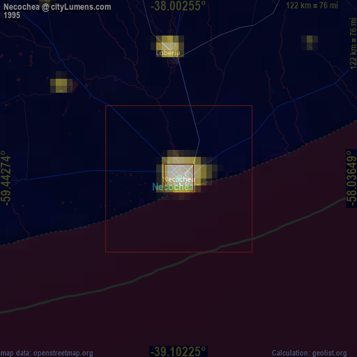
» NASA, Earths city lights 1995
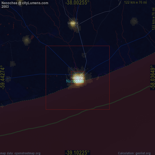
» NASA city lights 2003
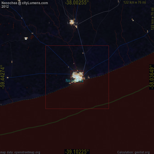
» Earth at Night: Flat Maps 2012, 2016