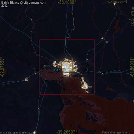
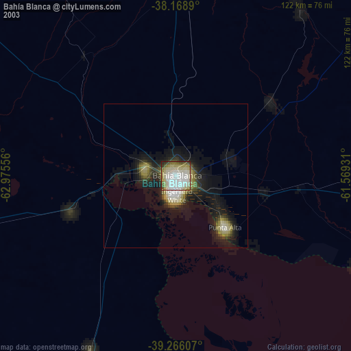
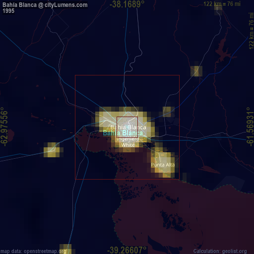
Bahía Blanca night lights from space
Night Light of Bahía Blanca (Buenos Aires) from space (Argentina) Src. Average luminocity for 10x10km area is 83.1105% and for 50x50km: 9.6245%.

Analysis of Bahía Blanca night lights 2016
Square area 10x10 km:
 24.83%
90-99
29.93%80-89
9.69%70-79
10.37%60-69
8.5%50-59
7.99%40-49
4.08%30-39
3.91%20-29
0.68%10-19
0%0-9
0%Square area 50x50 km:
1.63%90-99
1.99%80-89
1.06%70-79
1.25%60-69
1.24%50-59
1.4%40-49
0.61%30-39
0.98%20-29
2.14%10-19
6.44%0-9
81.25%Clear (daylight) street map image can be seen on geolist.org.
Map coordinates:
38° 10' 8" South, 62° 58' 32" West
38° 43' 10.5" South, 62° 16' 20.7" West
39° 15' 57.9" South, 61° 34' 9.5" West
Some cities around Bahía Blanca sort by population:
• Punta Alta
24.5 km =15.2 mi,  135°
135°
• Viedma
240.9 km =149.7 mi,  194°
194°
• Tres Arroyos
177.5 km =110.3 mi,  77°
77°
• Coronel Suárez
143.7 km =89.3 mi,  11°
11°
• General Acha
252.9 km =157.1 mi,  306°
306°
• Coronel Dorrego
85.5 km =53.1 mi,  89°
89°
• General Conesa
242.6 km =150.7 mi,  230°
230°
• Guatraché
160.5 km =99.7 mi,  316°
316°
3865086 (p: 276,546)
Sources (retrieved 2019-11-25):
» NASA, Earths city lights 1995
» NASA city lights 2003
» Earth at Night: Flat Maps 2012, 2016