Azul night lights from space
Night Light of Azul (Buenos Aires) from space (Argentina) Src. Average luminocity for 10x10km area is 42.264% and for 50x50km: 2.211%.
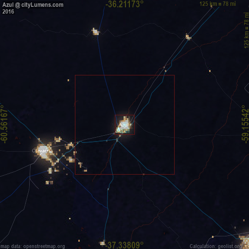
Analysis of Azul night lights 2016
Square area 10x10 km:
 9.27%
9.27%90-99
8.92%80-89
4.02%70-79
6.29%60-69
2.62%50-59
6.99%40-49
3.15%30-39
4.9%20-29
8.22%10-19
36.89%0-9
8.74%Square area 50x50 km:
0.37%90-99
0.35%80-89
0.19%70-79
0.25%60-69
0.19%50-59
0.36%40-49
0.15%30-39
0.29%20-29
0.41%10-19
2.15%0-9
95.3%Clear (daylight) street map image can be seen on geolist.org.
Map coordinates:
36° 12' 42.2" South, 60° 33' 42" West
36° 46' 37.1" South, 59° 51' 30.7" West
37° 20' 17.1" South, 59° 9' 19.5" West
Some cities around Azul sort by population:
• Tandil
88.4 km =54.9 mi,  133°
133°
• Olavarría
43.3 km =26.9 mi,  252°
252°
• Tres Arroyos
181.4 km =112.7 mi,  191°
191°
• Balcarce
185 km =115 mi, 129°
• Nueve de Julio
174.4 km =108.4 mi,  328°
328°
• Coronel Suárez
198.8 km =123.5 mi, 247°
• Dolores
201.4 km =125.1 mi,  75°
75°
• Veinticinco de Mayo
152.2 km =94.6 mi,  349°
349°
3436199 (p: 53,941)
Sources (retrieved 2019-11-25):
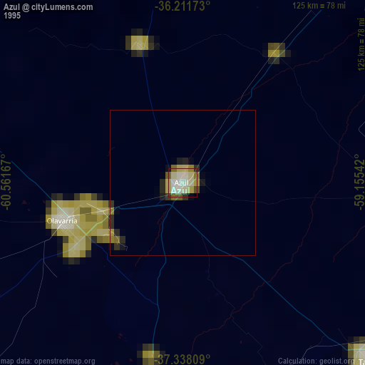
» NASA, Earths city lights 1995
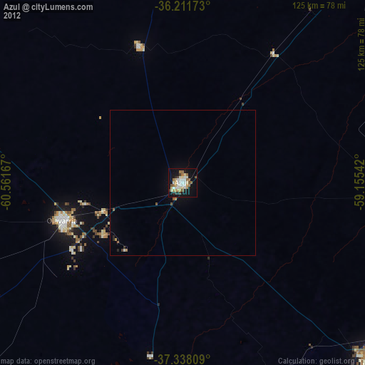
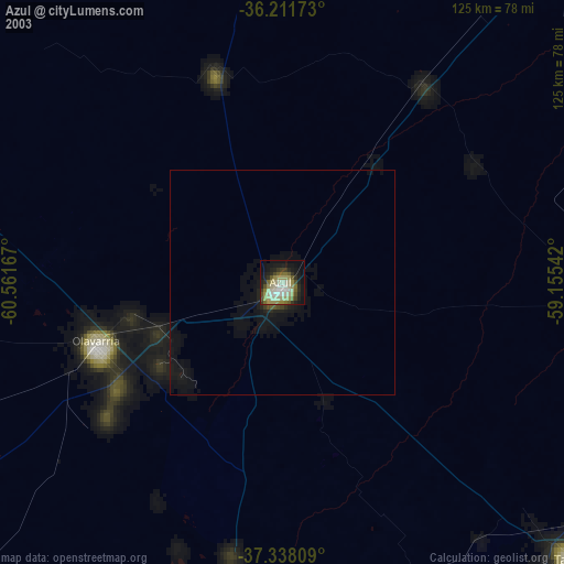
» NASA city lights 2003
» Earth at Night: Flat Maps 2012, 2016