Coronel Dorrego night lights from space
Night Light of Coronel Dorrego (Buenos Aires) from space (Argentina) Src. Average luminocity for 10x10km area is 11.3776% and for 50x50km: 0.5527%.
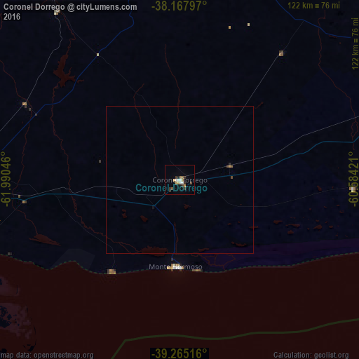
Analysis of Coronel Dorrego night lights 2016
Square area 10x10 km:
 1.53%
1.53%90-99
1.87%80-89
0.68%70-79
1.87%60-69
1.53%50-59
1.02%40-49
1.02%30-39
4.42%20-29
0.34%10-19
1.36%0-9
84.35%Square area 50x50 km:
0.06%90-99
0.07%80-89
0.03%70-79
0.1%60-69
0.06%50-59
0.07%40-49
0.09%30-39
0.18%20-29
0.04%10-19
0.08%0-9
99.21%Clear (daylight) street map image can be seen on geolist.org.
Map coordinates:
38° 10' 4.7" South, 61° 59' 25.7" West
38° 43' 7.2" South, 61° 17' 14.4" West
39° 15' 54.6" South, 60° 35' 3.2" West
Some cities around Coronel Dorrego sort by population:
• Bahía Blanca
85.5 km =53.1 mi,  269°
269°
• Tandil
244.4 km =151.9 mi,  50°
50°
• Olavarría
220 km =136.7 mi,  22°
22°
• Necochea
222 km =137.9 mi,  85°
85°
• Punta Alta
70.3 km =43.7 mi,  255°
255°
• Azul
249.8 km =155.2 mi,  30°
30°
• Tres Arroyos
95.6 km =59.4 mi,  66°
66°
• Guatraché
228.2 km =141.8 mi,  300°
300°
3860199 (p: 11,644)
Sources (retrieved 2019-11-25):
» Earth at Night: Flat Maps 2012, 2016