San Carlos de Bariloche night lights from space
Night Light of San Carlos de Bariloche (Rio Negro) from space (Argentina) Src. Average luminocity for 10x10km area is 43.7175% and for 50x50km: 3.4442%.
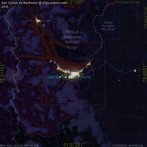
Analysis of San Carlos de Bariloche night lights 2016
Square area 10x10 km:
 8.44%
8.44%90-99
13.15%80-89
4.38%70-79
4.55%60-69
4.22%50-59
3.25%40-49
1.3%30-39
3.08%20-29
16.4%10-19
39.61%0-9
1.62%Square area 50x50 km:
0.33%90-99
0.69%80-89
0.41%70-79
0.37%60-69
0.46%50-59
0.41%40-49
0.26%30-39
0.33%20-29
0.87%10-19
3.31%0-9
92.55%Clear (daylight) street map image can be seen on geolist.org.
Map coordinates:
40° 36' 50.2" South, 72° 0' 40.9" West
41° 8' 44.1" South, 71° 18' 29.6" West
41° 40' 22.5" South, 70° 36' 18.4" West
Some cities around San Carlos de Bariloche sort by population:
• Puerto Montt, CL
141.2 km =87.7 mi,  255°
255°
• Puerto Varas, CL
141.6 km =88 mi, 262°
• San Martín de los Andes
109.9 km =68.3 mi,  358°
358°
• El Bolsón
92.5 km =57.5 mi,  191°
191°
• Purranque, CL
157.4 km =97.8 mi,  279°
279°
• Junín de los Andes
134.4 km =83.5 mi,  8°
8°
• Villa La Angostura
51.3 km =31.9 mi,  326°
326°
• Ingeniero Jacobacci
148.4 km =92.2 mi,  97°
97°
7647007 (p: 95,394)
Sources (retrieved 2019-11-25):
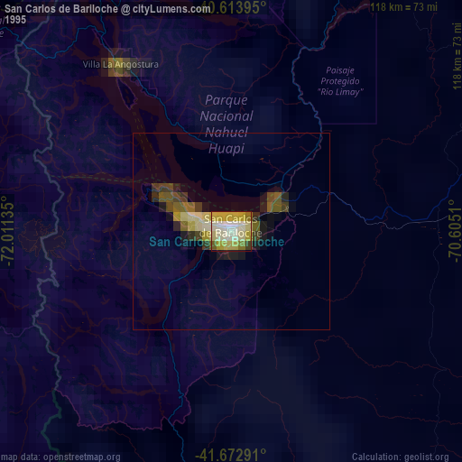
» NASA, Earths city lights 1995
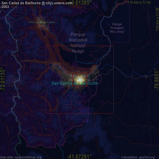
» NASA city lights 2003
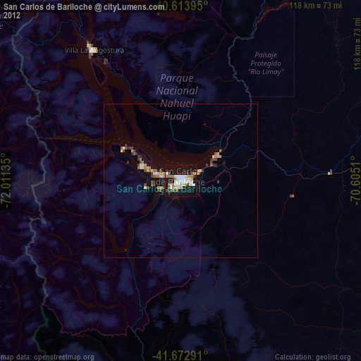
» Earth at Night: Flat Maps 2012, 2016