Puerto Varas night lights from space
Night Light of Puerto Varas (Los Lagos Region) from space (Chile) Src. Average luminocity for 10x10km area is 20.0833% and for 50x50km: 5.121%.
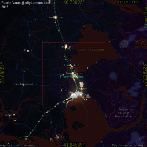
Analysis of Puerto Varas night lights 2016
Square area 10x10 km:
 0.68%
0.68%90-99
3.06%80-89
1.7%70-79
3.74%60-69
5.27%50-59
2.38%40-49
2.89%30-39
1.19%20-29
2.38%10-19
18.54%0-9
58.16%Square area 50x50 km:
0.82%90-99
0.88%80-89
0.48%70-79
0.45%60-69
0.58%50-59
0.59%40-49
0.38%30-39
0.63%20-29
1.95%10-19
4.67%0-9
88.57%Clear (daylight) street map image can be seen on geolist.org.
Map coordinates:
40° 47' 21.3" South, 73° 41' 18.6" West
41° 19' 10.1" South, 72° 59' 7.4" West
41° 50' 43.4" South, 72° 16' 56.1" West
Some cities around Puerto Varas sort by population:
• Osorno
83.8 km =52.1 mi,  351°
351°
• Ancud
92.4 km =57.4 mi,  228°
228°
• La Unión
114.4 km =71.1 mi,  355°
355°
• Río Bueno
109.5 km =68 mi,  1°
1°
• Purranque
47.5 km =29.5 mi,  342°
342°
• Dalcahue
130 km =80.8 mi,  205°
205°
• Calbuco
51.9 km =32.2 mi,  193°
193°
• Villa La Angostura, AR
128.3 km =79.7 mi,  61°
61°
3874930 (p: 24,958)
Sources (retrieved 2019-11-25):
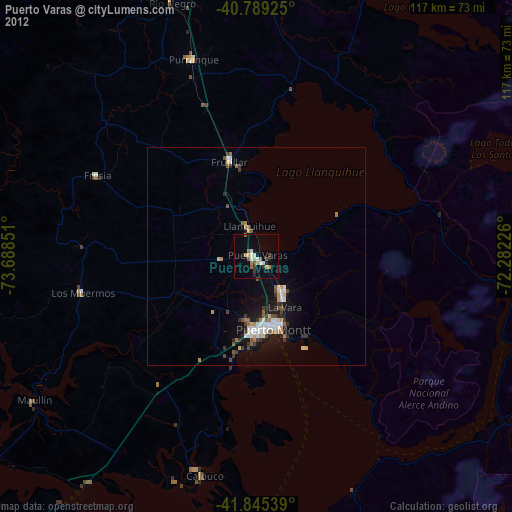
» Earth at Night: Flat Maps 2012, 2016