Puerto Montt night lights from space
Night Light of Puerto Montt (Los Lagos Region) from space (Chile) Src. Average luminocity for 10x10km area is 51.1854% and for 50x50km: 5.0044%.
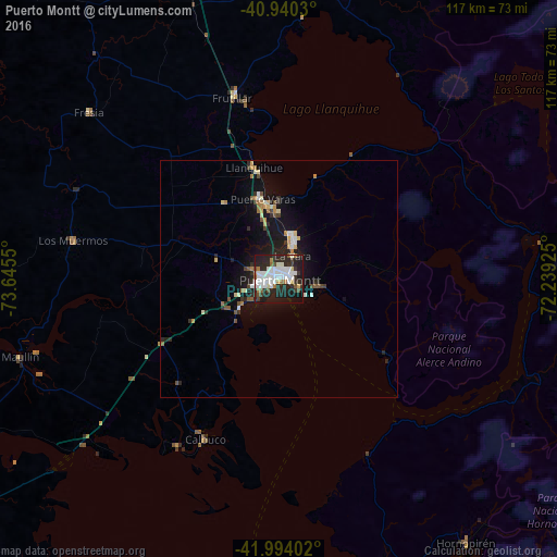
Analysis of Puerto Montt night lights 2016
Square area 10x10 km:
 16.5%
16.5%90-99
13.95%80-89
2.55%70-79
1.36%60-69
4.42%50-59
2.89%40-49
2.89%30-39
7.48%20-29
27.55%10-19
19.05%0-9
1.36%Square area 50x50 km:
0.8%90-99
0.86%80-89
0.43%70-79
0.44%60-69
0.58%50-59
0.48%40-49
0.39%30-39
0.62%20-29
2%10-19
4.68%0-9
88.71%Clear (daylight) street map image can be seen on geolist.org.
Map coordinates:
40° 56' 25.1" South, 73° 38' 43.8" West
41° 28' 9.5" South, 72° 56' 32.5" West
41° 59' 38.5" South, 72° 14' 21.3" West
Some cities around Puerto Montt sort by population:
• Osorno
100.8 km =62.6 mi,  350°
350°
• Castro
131 km =81.4 mi,  211°
211°
• Ancud
85.2 km =52.9 mi,  238°
238°
• El Bolsón, AR
129.1 km =80.2 mi,  115°
115°
• Río Bueno
126.1 km =78.4 mi,  359°
359°
• Purranque
64.5 km =40.1 mi,  343°
343°
• Dalcahue
116.8 km =72.6 mi, 210°
• Calbuco
37.3 km =23.2 mi,  204°
204°
3874960 (p: 160,054)
Sources (retrieved 2019-11-25):
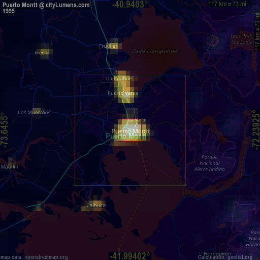
» NASA, Earths city lights 1995
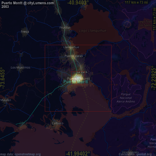
» NASA city lights 2003
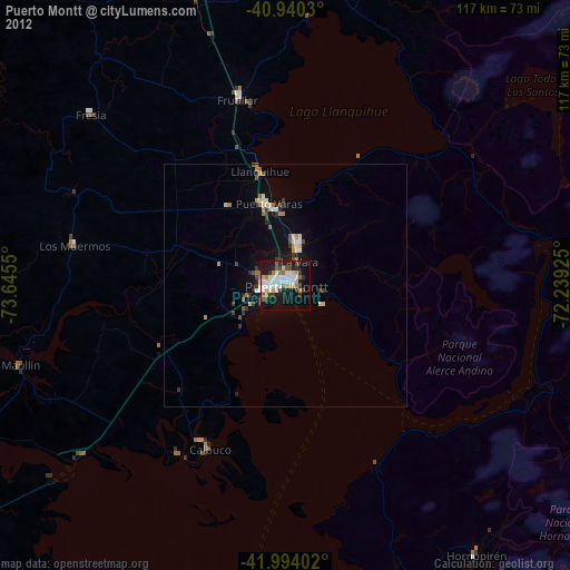
» Earth at Night: Flat Maps 2012, 2016