Junín de los Andes night lights from space
Night Light of Junín de los Andes (Neuquen) from space (Argentina) Src. Average luminocity for 10x10km area is 10.8929% and for 50x50km: 1.283%.
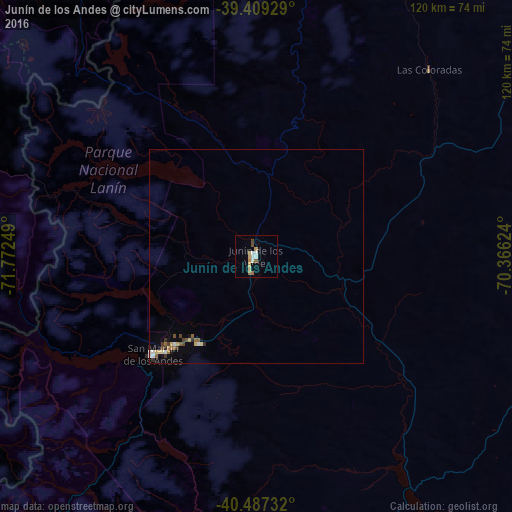
Analysis of Junín de los Andes night lights 2016
Square area 10x10 km:
 1.53%
1.53%90-99
2.21%80-89
2.04%70-79
1.7%60-69
1.36%50-59
0.68%40-49
1.36%30-39
0%20-29
0%10-19
0%0-9
89.12%Square area 50x50 km:
0.14%90-99
0.18%80-89
0.24%70-79
0.09%60-69
0.17%50-59
0.2%40-49
0.17%30-39
0.19%20-29
0.07%10-19
0.2%0-9
98.35%Clear (daylight) street map image can be seen on geolist.org.
Map coordinates:
39° 24' 33.4" South, 71° 46' 21" West
39° 57' 1.5" South, 71° 4' 9.7" West
40° 29' 14.4" South, 70° 21' 58.5" West
Some cities around Junín de los Andes sort by population:
• San Carlos de Bariloche
134.4 km =83.5 mi,  188°
188°
• Villarrica, CL
123.7 km =76.9 mi,  306°
306°
• Zapala
145.8 km =90.6 mi,  36°
36°
• Pucón, CL
106.1 km =65.9 mi, 314°
• San Martín de los Andes
33.4 km =20.8 mi,  226°
226°
• Panguipulli, CL
113.2 km =70.3 mi,  287°
287°
• Loncoche, CL
148.6 km =92.3 mi,  295°
295°
• Villa La Angostura
102.6 km =63.8 mi,  208°
208°
3853350 (p: 10,592)
Sources (retrieved 2019-11-25):
» Earth at Night: Flat Maps 2012, 2016