El Bolsón night lights from space
Night Light of El Bolsón (Rio Negro) from space (Argentina) Src. Average luminocity for 10x10km area is 17.6381% and for 50x50km: 1.0515%.
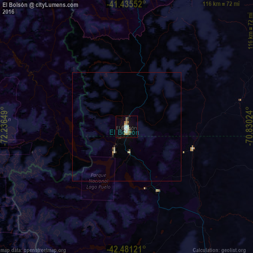
Analysis of El Bolsón night lights 2016
Square area 10x10 km:
 1.9%
1.9%90-99
4.13%80-89
1.59%70-79
1.9%60-69
2.22%50-59
3.49%40-49
0.79%30-39
0.63%20-29
3.49%10-19
9.52%0-9
70.32%Square area 50x50 km:
0.08%90-99
0.23%80-89
0.13%70-79
0.1%60-69
0.09%50-59
0.15%40-49
0.1%30-39
0.07%20-29
0.26%10-19
0.46%0-9
98.33%Clear (daylight) street map image can be seen on geolist.org.
Map coordinates:
41° 26' 7.9" South, 72° 14' 11.4" West
41° 57' 37.8" South, 71° 32' 0.1" West
42° 28' 52.4" South, 70° 49' 48.9" West
Some cities around El Bolsón sort by population:
• Puerto Montt, CL
129.1 km =80.2 mi,  295°
295°
• San Carlos de Bariloche
92.5 km =57.5 mi,  11°
11°
• Esquel
107.2 km =66.6 mi,  170°
170°
• Puerto Varas, CL
140.1 km =87.1 mi, 300°
• Purranque, CL
178.7 km =111 mi,  310°
310°
• Calbuco, CL
133.9 km =83.2 mi,  278°
278°
• Villa La Angostura
133.6 km =83 mi,  355°
355°
• Trevelin
125.3 km =77.9 mi,  177°
177°
3858765 (p: 15,537)
Sources (retrieved 2019-11-25):
» Earth at Night: Flat Maps 2012, 2016